![]()
BRYSON FALLS |
|
|
RATING - 22.0
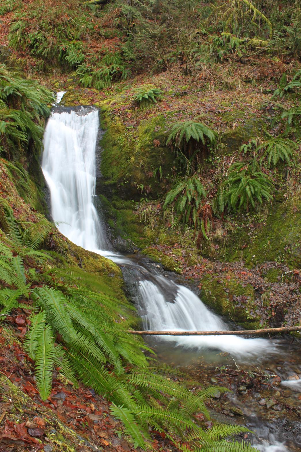
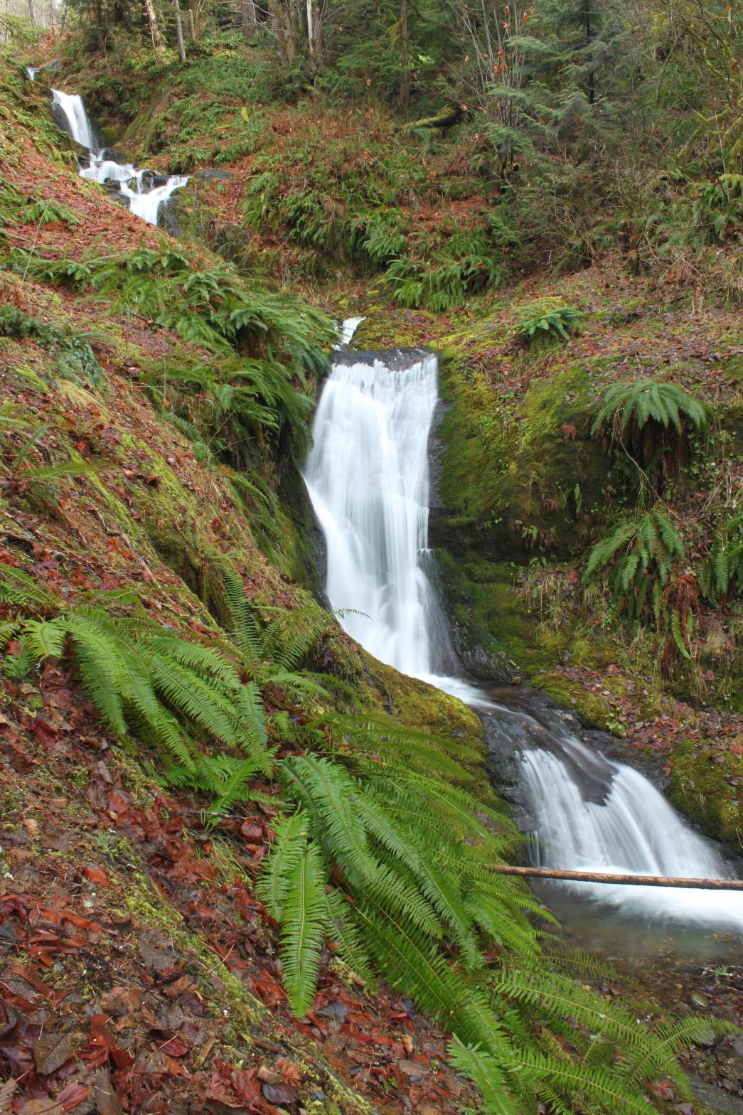
VR - 2.0 (Small) HR - 5 SR - 12/20 TYPE OF APPROACH - Road walk DIFFICULTY - Easy LOCATION - Suiattle River Road TYPE - Tiered HEIGHT - 120' WIDTH - 10' GPS - N48 21' 48.75" W121 27' 58.28" ELEVATION - 990'
|
The waterfall is named for the Brysons who were early settlers in Darrington. Thanks to Martha from Darrington Tourism for the directions to this one. |
|
DIRECTIONS - From Rockport, head south on HWY 530 and turn onto the Suiattle
River Road (FR 26). Follow the road for about 4 1/2 miles to a gated road
on the left. Park at the intersection and start walking up the road.
In 1/4 of a mile, take the right hand fork and follow it for 1/4 of a mile
to where the falls can be seen through the trees. Climbing up the side
of the creek will give you a better view. NEARBY WATERFALLS - Huckleberry Falls, Lower Suiattle Falls, Suiattle Falls, Teepee Falls, Uproot Falls |
|
ADDITIONAL PHOTOS (CLICK TO ENLARGE) AND VIDEOS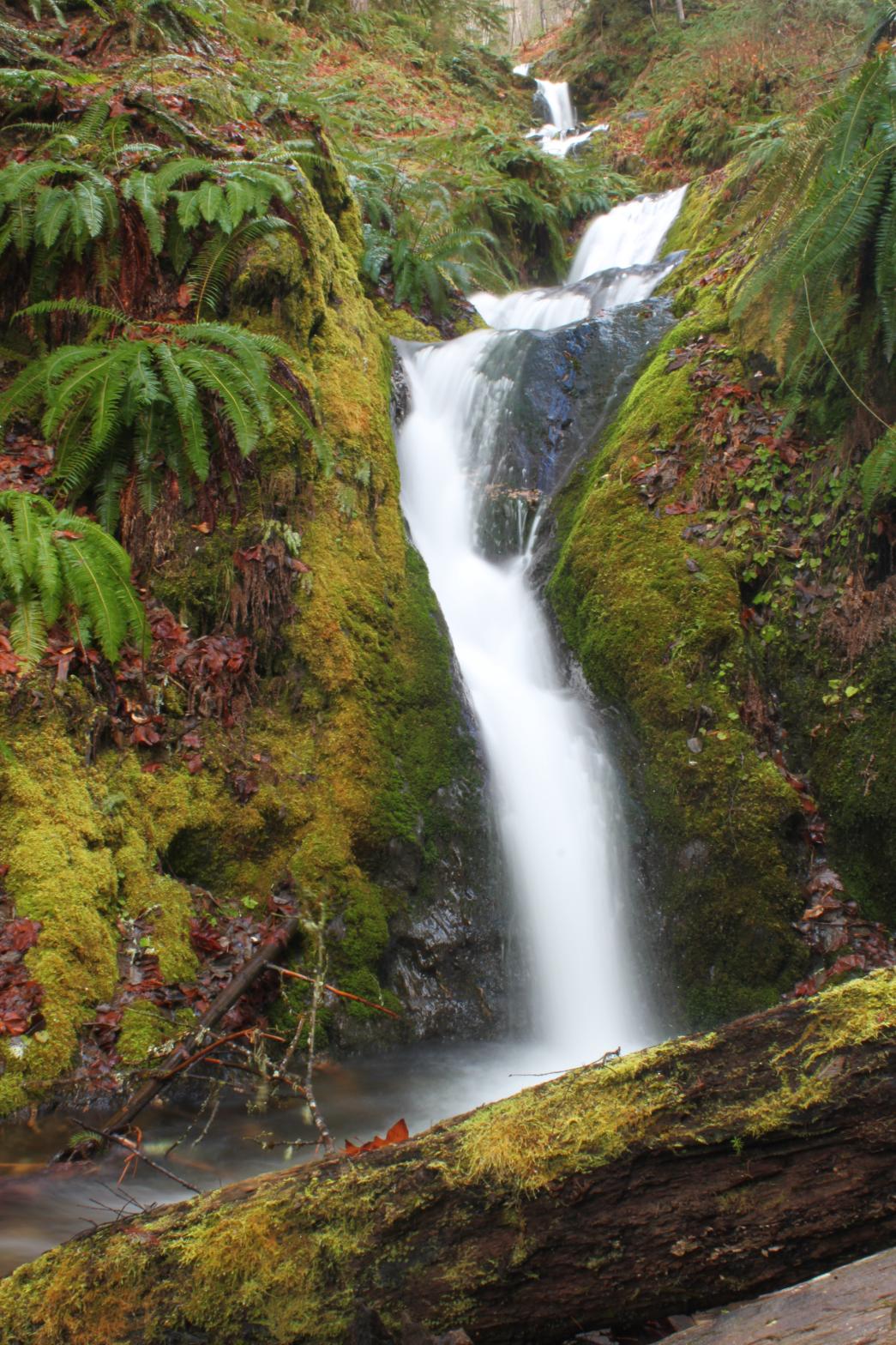
 |
|
HOME SKAGIT COUNTY LINKS BEST IN THE NW WATERFALLS FOR KIDS FLICKR FACEBOOK STORE |
|