![]()
LANDSLIDE FALLS |
|
|
RATING -
24.0
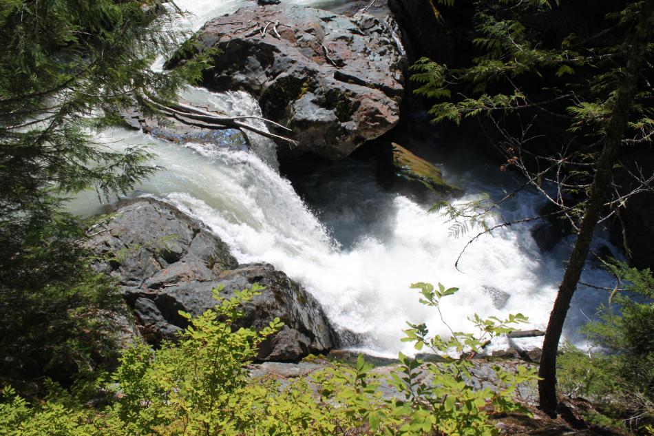
VR - 8 (Big) HR - 2.0 SR - 8/20 TYPE OF APPROACH - Bushwhack DIFFICULTY - Fairly Easy LOCATION - Wells Creek Road TYPE - Cascades HEIGHT - 35' WIDTH - 30' GPS - N48 52.970 W121 46.779 ELEVATION - 2336' |
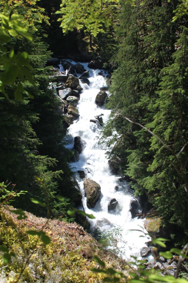
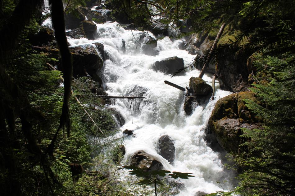
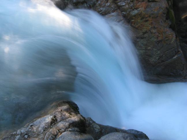
Landslide Falls is a series of cascades on Wells Creek. The only drop that can be seen clearly is the top one, the 15' tall drop shown below. There are about 35' worth of bedrock cascades at the top of the falls that should count as the actual waterfall. Below this upper section, the creek continues to drop through massive boulders for another 150 vertical feet. In total, the falls drop about 200' over a horizontal distance of about 400'. I suspect that before the landslide this was a much better waterfall, perhaps a 200' plunging drop, but we will probably never know how good it could have been now.
|
| DIRECTIONS - Follow
the directions to Nooksack Falls. Continue on Wells
Creek Road for 3.1 miles and pull off at a turnout on the right. Head into the woods
towards Wells Creek. The going is fairly easy through the woods. You should
come out somewhere near the falls in around 1/5 of a mile. If not, head downstream a
little further. Getting to the top of the falls is very easy, but getting clear
views of the lower sections seems to be very tough, if not impossible. NEARBY WATERFALLS - Excelsior Falls, Lower Mazama Falls, Lower Wells Creek Falls, Mazama Falls, Middle Wells Creek Falls, Nooksack Falls, Sholes Creek Falls, Wells Creek Falls |
|
|
ADDITIONAL PICTURES (CLICK TO ENLARGE) AND
VIDEO
|
|
HOME WHATCOM COUNTY LINKS BEST IN THE NW WATERFALLS FOR KIDS FLICKR FACEBOOK STORE |
|