![]()
SKALEEK FALLS |
|
|
RATING -
16.0
VR - 2 (Small) HR - 4 SR - 8/20 TYPE OF APPROACH - Bushwhack DIFFICULTY - Extremely Difficult LOCATION - Mt. Baker Recreation Area TYPE - Horsetail HEIGHT - 79' WIDTH - 10' ELEVATION - 5114' GPS - N 48 44.253', W 121 48.180' |
Skaleek Falls is the uppermost waterfall on the middle of the three streams. The waterfall drops 79' over a double-stepped waterfall. The creek flows out of the glacier and begins its decent right next to the amazing rock formation I call the Wall of Jericho. "Skaleek" is my Americanized version of a Salish word that means "high on the mountain". This waterfall, at nearly a mile above sea level, is certainly high on the mountain so I thought the name was fitting.
|
|
DIRECTIONS - Follow the directions to Kathryn
Falls. Follow the trail east for a couple hundred feet and then
head uphill and to the east. After climbing up to the top of the ridge
you should see the Squak Glacier and Sandy Creek Valley before you.
You can make your way closer to the falls by staying up high (around 5000'
elevation) and then dropping down the rocks when you get closer. NEARBY WATERFALLS - Andesite Falls, Double Falls, Kathryn Falls, Middle Andesite Falls, Middle Sandy Creek Falls, South Squak Glacier Falls, Squak Glacier Falls, Upper Andesite Falls, Upper Sandy Creek Falls |
|
ADDITIONAL PICTURES (CLICK TO ENLARGE) AND
VIDEO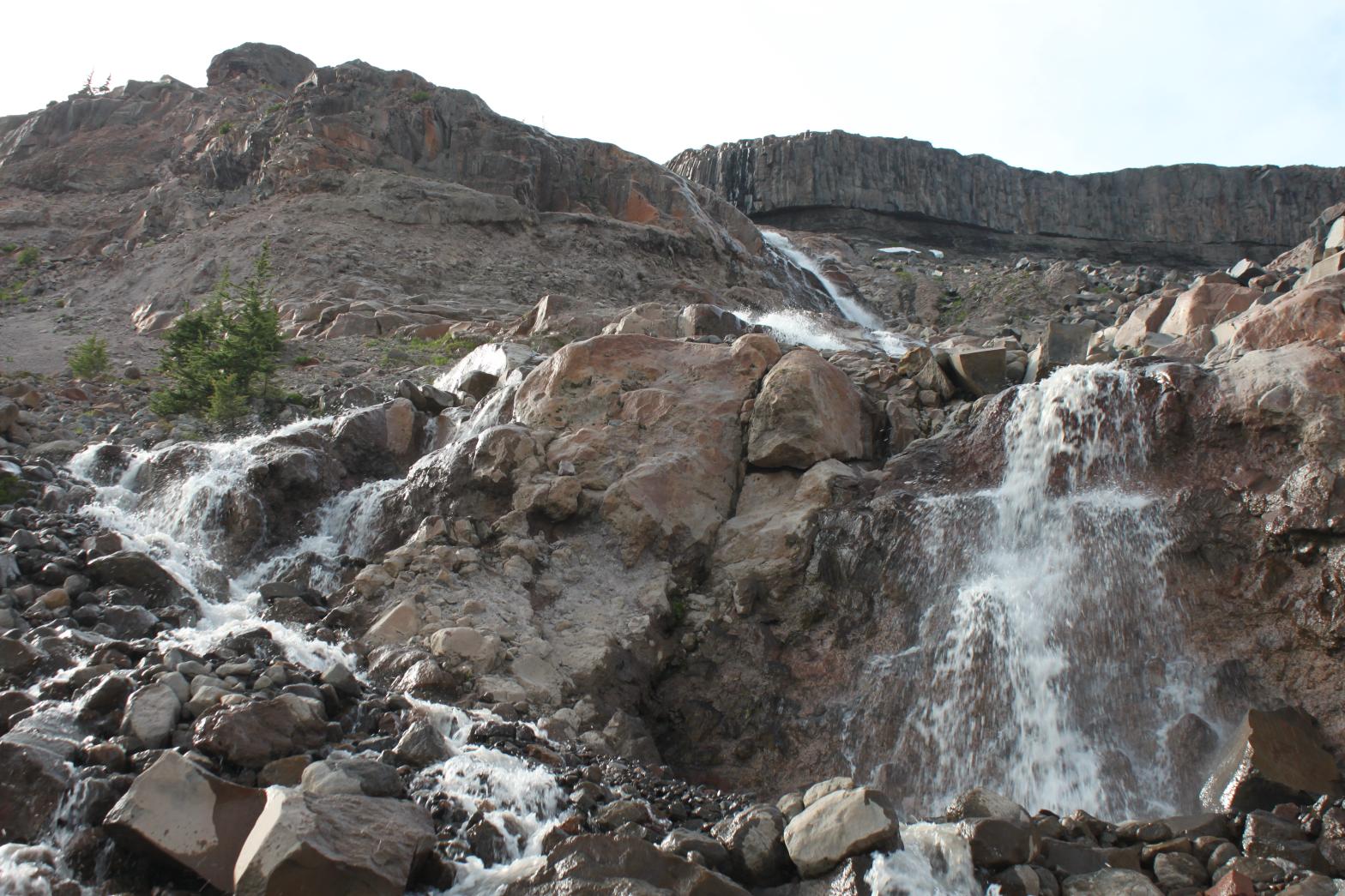 |
|
HOME WHATCOM COUNTY LINKS BEST IN THE NW WATERFALLS FOR KIDS FLICKR FACEBOOK STORE |
|
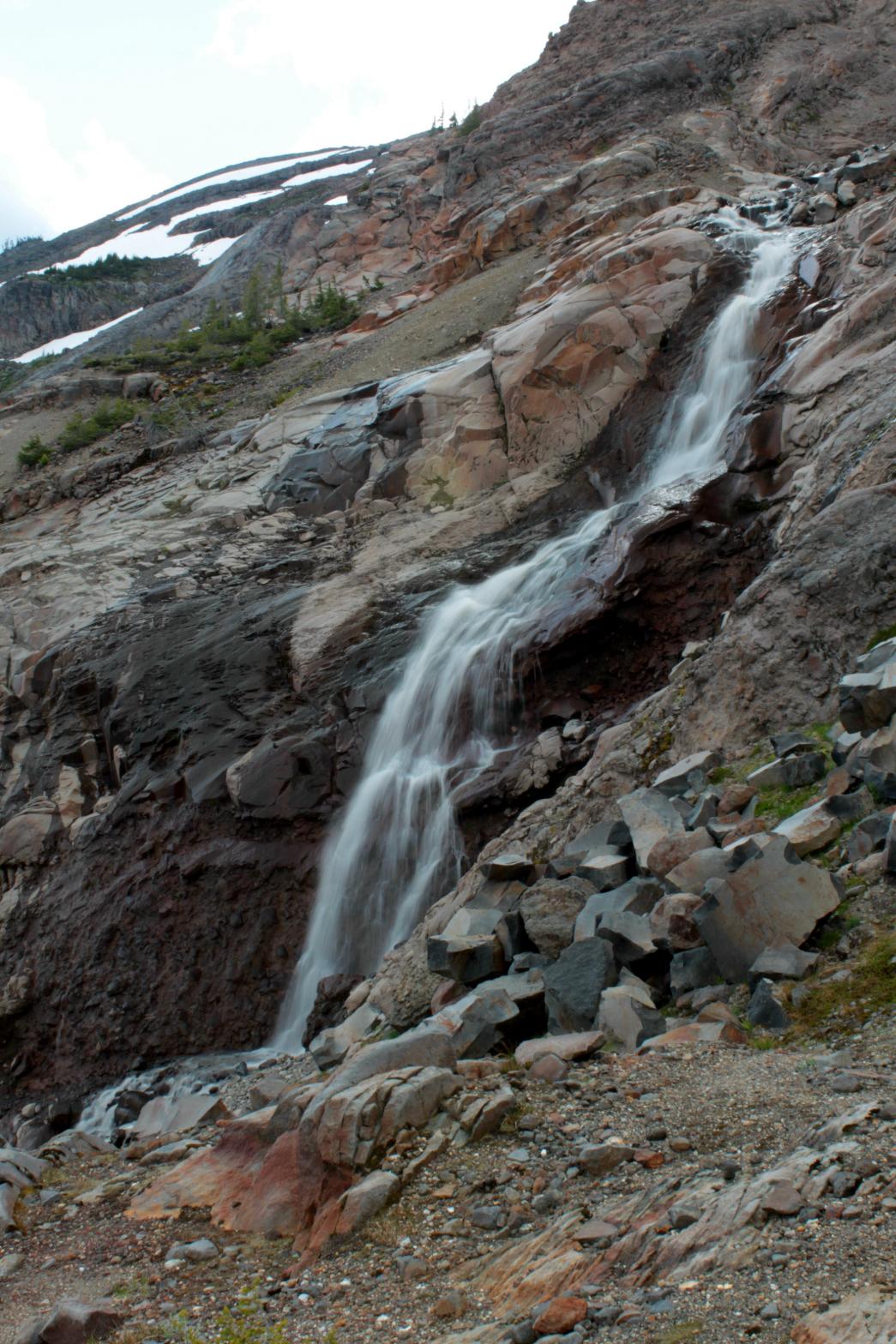 The
Sandy Creek Basin is one of the most desolate, rugged, and most difficult to
access locations on all of Mt. Baker. However, the area is also home
to a plethora of waterfalls and some of the most unique and amazing geology
on the entire mountain. Three major streams flow out of the Squak
Glacier in the area and each one contains multiple waterfalls along their
courses.
The
Sandy Creek Basin is one of the most desolate, rugged, and most difficult to
access locations on all of Mt. Baker. However, the area is also home
to a plethora of waterfalls and some of the most unique and amazing geology
on the entire mountain. Three major streams flow out of the Squak
Glacier in the area and each one contains multiple waterfalls along their
courses.