![]()
ST LOUIS FALLS |
|
|
RATING -
36.0
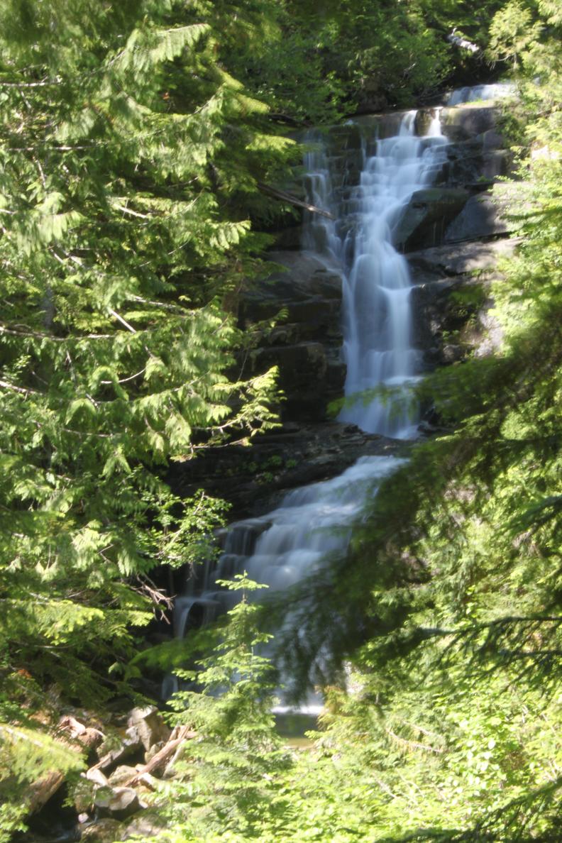
VR - 4.0 (Med/Sm) HR - 5.0 SR - 16/20 TYPE OF APPROACH - Trail DIFFICULTY - Medium LOCATION - Mountain Loop Highway TYPE - Tiered HEIGHT - 100' WIDTH - 10' |
|
| DIRECTIONS - Drive
along the Mountain Loop Highway and turn off onto Deer Creek Road (FR 4052). In
about 3.5 miles, the road crosses over Deer Creek. Just after this it goes around a
sharp, right-hand turn. Keep your eyes open for a large pullout on the right side of
the road. Park there and find a rough trail down towards the creek. The trail
is tough to follow in places but eventually leads you to the creek and the upper section
of the falls. Cross the creek and continue down to the main part of the falls. NEARBY WATERFALLS - Devils Peak Falls, Lower St. Louis Falls |
|
|
ADDITIONAL PICTURES (CLICK TO ENLARGE) AND VIDEO
|
|
HOME SNOHOMISH COUNTY LINKS BEST IN THE NW WATERFALLS FOR KIDS FLICKR FACEBOOK STORE |
|
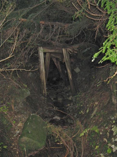
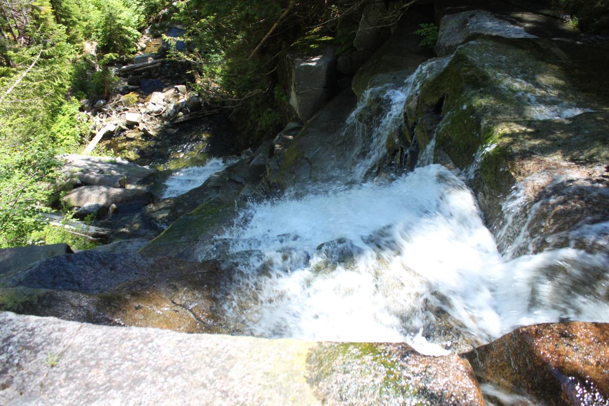
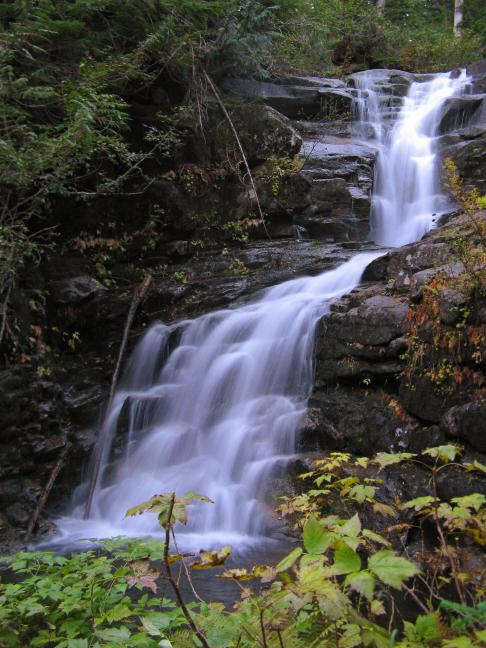 Deer
Creek drops over this very pretty waterfall near the abandoned St Louis
Mine. The falls begin with a pretty slide of about 15' tall at an
angle of around 30' into a nice pool. If you
visit this waterfall on a warm day, this part can be used as a waterslide. After
this initial drop, the creek slides another 20' or so before plunging over the bottom
section of the falls in two drops totaling around 50'.
Deer
Creek drops over this very pretty waterfall near the abandoned St Louis
Mine. The falls begin with a pretty slide of about 15' tall at an
angle of around 30' into a nice pool. If you
visit this waterfall on a warm day, this part can be used as a waterslide. After
this initial drop, the creek slides another 20' or so before plunging over the bottom
section of the falls in two drops totaling around 50'.