![]()
UPPER LIGHTNING FALLS |
|
|
RATING -
30.0
VR - 4.0 (Med/Sm) HR - 6.0 SR - 6/20 TYPE - Cascades HEIGHT - 194' WIDTH - 20' TYPE OF APPROACH - "Trail" + Bushwhack DIFFICULTY - Difficult LOCATION - Middle Fork Nooksack Road GPS - N48 45.652 W121 52.748 ELEVATION - 5338' |
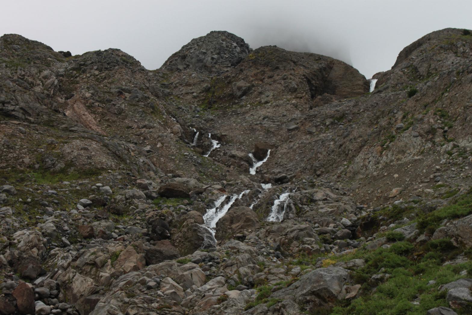 Upper Lightning Falls is a fairly tall, cascading waterfall located a short distance upstream from Lightning Falls. The creek cascades down a series of bedrock mounds, twisting this way and that as it falls. This makes it difficult to see the entire waterfall or get a good idea of its size. I was able to measure the waterfall at 194' tall, but there may be more above that I couldn't see from where I was. Because of the twisted nature of the cascades and the massive foreshortening from the bottom, this waterfall does not appear to be very substantial. Consider this as sort of the appetiser to the main dish just downstream. |
|
DIRECTIONS - Follow the directions to Thunder
Falls. Upper Lightning Falls can be seen from the same location.
To get up close you must first find a way down the cliff below the meadows.
I was able to scramble down fairly easily about 100' to the northeast of the
seasonal waterfall that drains the meadows. From there, head east
through the boulder field until you get around a secondary cliff. This
should put you pretty close to the falls. NEARBY WATERFALLS - Lightning Falls, Lower Thunder Falls, Thunder Falls |
|
ADDITIONAL PICTURES (CLICK TO ENLARGE)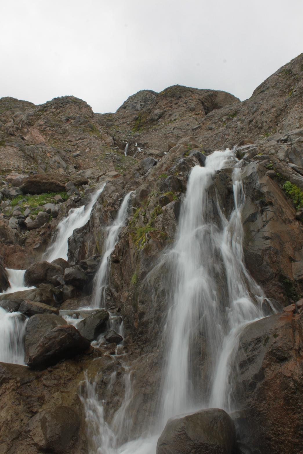 |
|
HOME WHATCOM COUNTY LINKS BEST IN THE NW WATERFALLS FOR KIDS FLICKR FACEBOOK STORE |
|