![]()
UPPER WARM CREEK FALLS |
|
|
RATING -
20.0
VR - 2.0 (Sm) HR - 5.0 SR - 10/20 TYPE OF APPROACH - BushwhackDIFFICULTY - Extremely Difficult LOCATION - Grouse Ridge TYPE - Cascades HEIGHT - 96' WIDTH - 10' GPS - N48 46.877' W121 54.368' ELEVATION - 4917' |
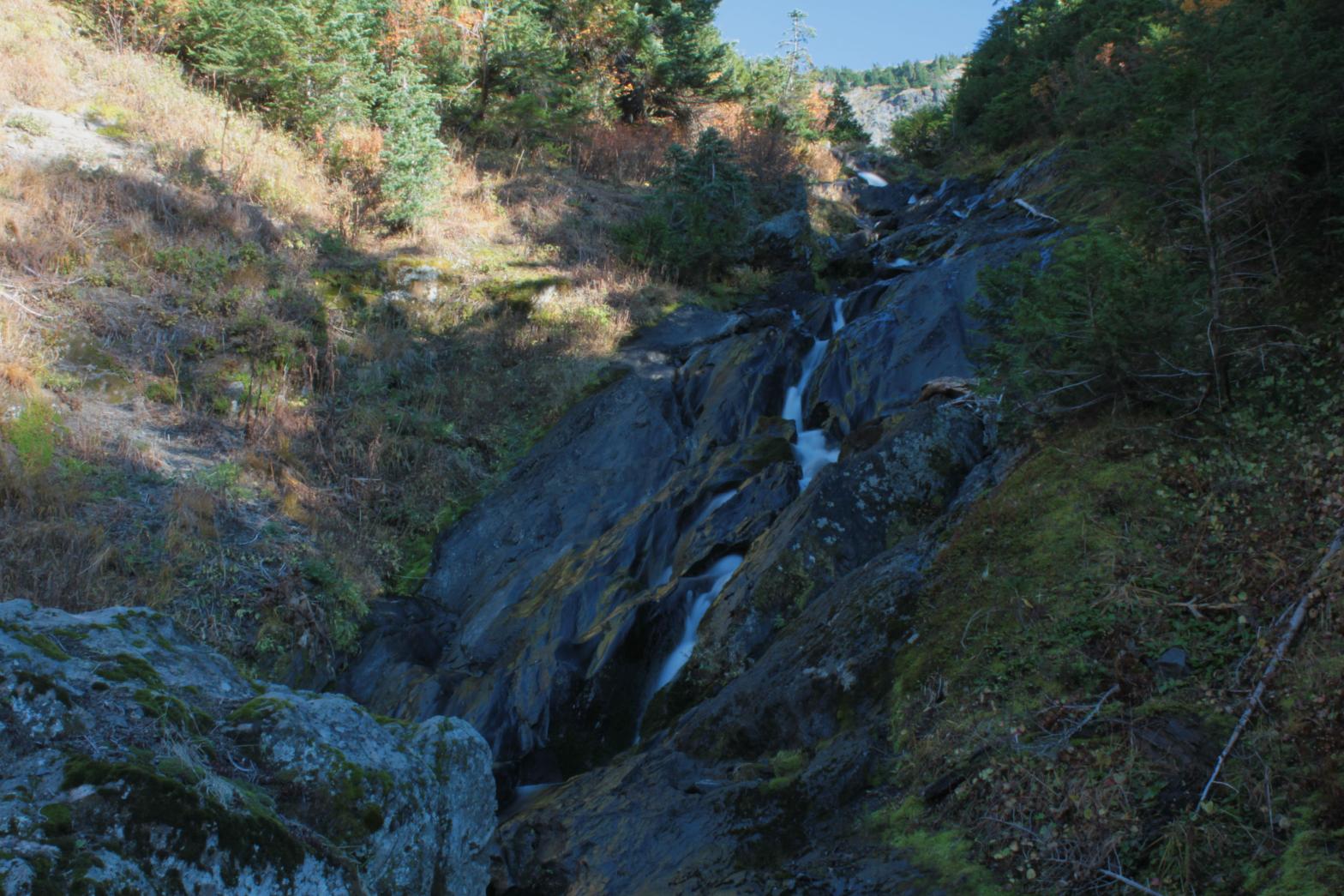 Upper Warm Creek Falls is a pretty cascading drop located on the North Branch of Warm Creek. It drops a total of 96' as the creek leaves a meadowy cirque and begins its drop towards Warm Creek Falls itself. When I visited the creek was low and the lighting was horrible, but I think one could get some really nice pictures with the correct conditions. I'll return next year to get an up close view of nearby Marmot Ridge Falls so I'll stop by here at that time as well. Realistically the waterfall I know call Marmot Ridge Falls should be the true Upper Warm Creek Falls, so if I can come up with a different name for this one they will change. |
|
DIRECTIONS - From the Mt. Baker Highway, turn onto Glacier Creek Road.
In about seven miles, turn right onto FR 36. After that, take the left
at each fork and follow it to the end. Park and hike the steep Grouse
Ridge Trail to the top of the ridge. The falls can be seen from the
ridge. It's also possible to get close, but it requires some fairly
steep off trail travel. NEARBY WATERFALLS - Marmot Ridge Falls, Warm Creek Falls |
|
HOME WHATCOM COUNTY LINKS BEST IN THE NW WATERFALLS FOR KIDS FLICKR FACEBOOK STORE |
|