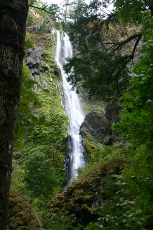
| DIRECTIONS - Starvation Creek Falls is located in Starvation Creek State Park. Drive east on I-84 for a little over 50 miles and exit at the signed state park. The falls can be seen by following a short, paved trail that leaves the parking lot and travels behind the restrooms. | |
| LOCATION - Mt. Defiance Area TYPE - Horsetail HEIGHT - 186' WIDTH - 10' |
RATING -     TYPE OF APPROACH - Trail DIFFICULTY - Very Easy |
| NEARBY WATERFALLS | Starvation Creek Falls is a falls that has been vastly overshadowed by some of the more popular falls in the gorge (Multnomah, Latourell, etc). Starvation Creek drops over a moss-covered rock wall and into a small pool before pouring out and down a second, lower tier. There are several other falls in the area along the Mt. Defiance Trail. |
 |
|
