![]()
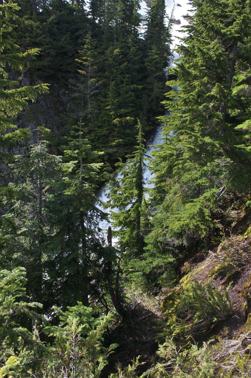
CHURCH MEADOWS FALLS |
|
|
RATING - 22.0
VR - 3.6 (Med/Sm) HR - 5 SR - 4/20 TYPE OF APPROACH - Trail DIFFICULTY - Fairly Easy LOCATION - Mt. Baker Highway TYPE - Tiered HEIGHT - 85' WIDTH - 8' GPS - N48 52.911 W121 39.950 ELEVATION - 2517' |
|
| DIRECTIONS - Drive east on the Mt. Baker Highway. In about 40 miles, turn left onto East Church Mountain Road and follow it to its end at the Church Mountain Trailhead. Hike the very steep trail for a little over 3 miles to the meadow. Follow the main stream in the meadows down to where it falls off the edge of the world. You can get a really sketchy look at the top part of the falls from a promontory just east of the creek. | |
ADDITIONAL PICTURES (CLICK TO ENLARGE) AND
VIDEO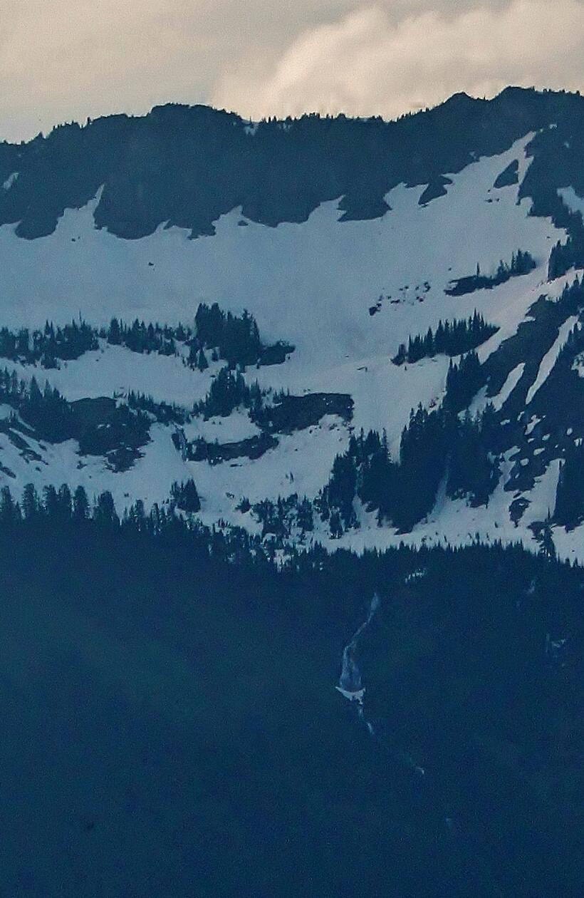
 |
|
HOME WHATCOM COUNTY LINKS BEST IN THE NW WATERFALLS FOR KIDS FLICKR FACEBOOK STORE |
|