![]()
CURTIS GLACIER FALLS |
|
|
RATING - 24.0
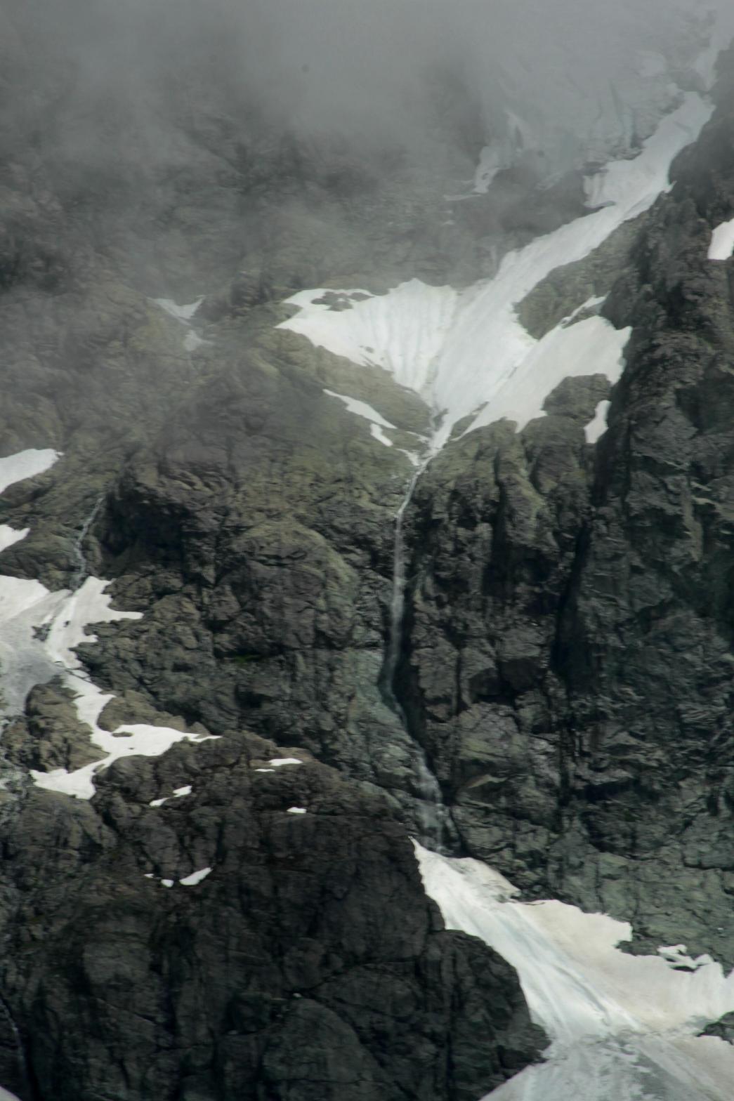
VR - 2 (Small) HR - 10 SR - 4/20 TYPE OF APPROACH - Trail DIFFICULTY - Medium LOCATION - Lake Ann Area TYPE - Horsetail HEIGHT - 800' WIDTH - 10' GPS - N48 49' 40.24" W121 37' 07.30" ELEVATION - 5800' |
|
|
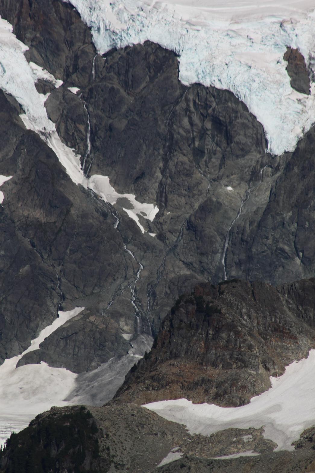
DIRECTIONS - From Artists Point at the end of Mt. Baker Highway, begin
hiking along the Ptarmigan Ridge Trail. In about 2.5 miles, look back
towards Shuksan where you will see the falls dropping between the two Curtis
Glaciers. A closer view can be had from the Lake Ann Trail. NEARBY WATERFALLS - Chronograph Falls, Lower Curtis Glacier Falls |
|
HOME WHATCOM COUNTY LINKS BEST IN THE NW WATERFALLS FOR KIDS FLICKR FACEBOOK STORE |
|
 Curtis
Glacier Falls is a unique waterfall that tumbles out of the Upper Curtis
Glacier and falls into the Lower Curtis Glacier. From the Ptarmigan
Ridge Trail, the waterfall looks like a trickle of water, but a closer view
makes it look a little more impressive.
Curtis
Glacier Falls is a unique waterfall that tumbles out of the Upper Curtis
Glacier and falls into the Lower Curtis Glacier. From the Ptarmigan
Ridge Trail, the waterfall looks like a trickle of water, but a closer view
makes it look a little more impressive.