![]()
EAGLE ROCK FALLS |
|
|
RATING -
15.6
VR - 1.8 (Small) HR - 2.0 SR - 12/20 TYPE OF APPROACH - Roadside DIFFICULTY - Very Easy LOCATION - Beckler River Area TYPE - Tiered HEIGHT - 60' WIDTH - 25' GPS - N47 45.463 W121 21.352 ELEVATION - 2394' |
The area around this road was absolutely covered with wild strawberries almost everywhere you look. If you happen to be in the area when the berries are ripe, you could easily fill up a bucket or two. It should be noted that the road up to this waterfall is very rugged. My little car made it up there without too much difficulty, but if you get nervous on sketchy roads this one might not be for you. |
| DIRECTIONS - Drive east along Highway 2 from Index. Turn left onto Beckler River Road. In about a mile, turn left onto Bolt Creek Road. Take the right at the fork onto Eagle Creek Road. Take a left at the next fork (there is a small waterfall that can be seen from the road on the left here). The road climbs along Eagle Creek for about 4 miles to where the falls can be seen right next to the road. There are a couple other smaller waterfalls along the way that were too small to put on the website. | |
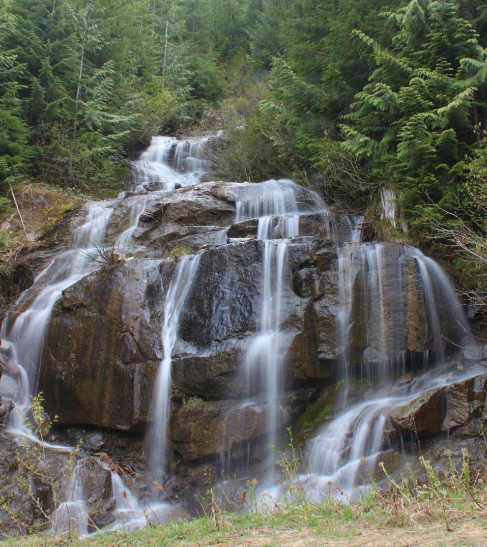
ADDITIONAL
PICTURES (CLICK TO ENLARGE) AND VIDEO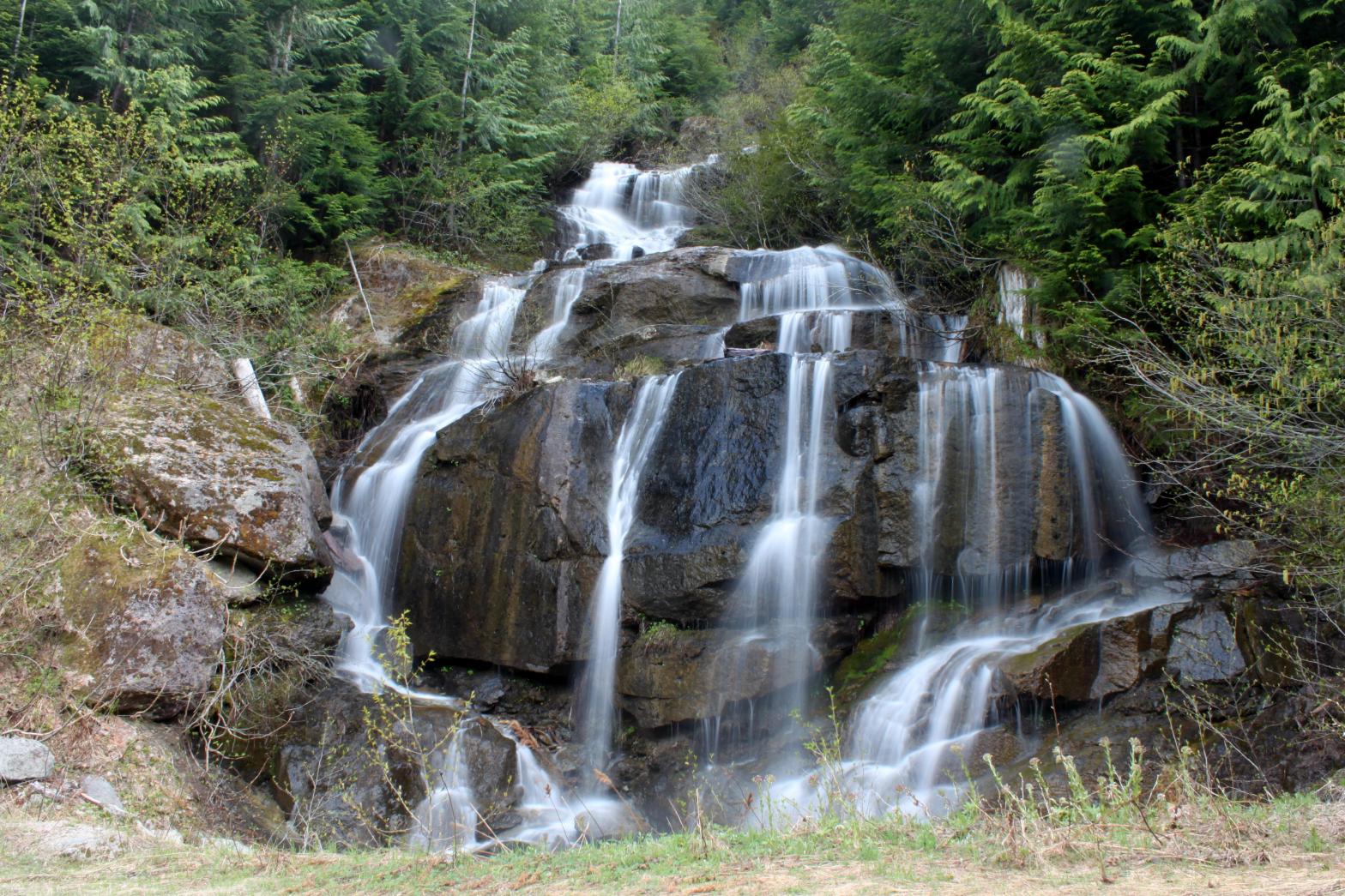
|
|
HOME KING COUNTY LINKS BEST IN THE NW WATERFALLS FOR KIDS FLICKR FACEBOOK STORE |
|
 I
named this waterfall after nearby Eagle Rock, but the name really isn't very
fitting since Eagle Rock is on the opposite side of the valley. Don't
be surprised if the name of this one ends up getting changed. This
small volume stream drops next to Eagle Creek Road via this gorgeous little
waterfall. You don't have to get out of the car to view the falls, but
you may want to. The creek probably runs dry late in the summer.
On the drive to the falls, a couple more small waterfalls are passed and two
tall seasonal falls can be seen across the valley.
I
named this waterfall after nearby Eagle Rock, but the name really isn't very
fitting since Eagle Rock is on the opposite side of the valley. Don't
be surprised if the name of this one ends up getting changed. This
small volume stream drops next to Eagle Creek Road via this gorgeous little
waterfall. You don't have to get out of the car to view the falls, but
you may want to. The creek probably runs dry late in the summer.
On the drive to the falls, a couple more small waterfalls are passed and two
tall seasonal falls can be seen across the valley.