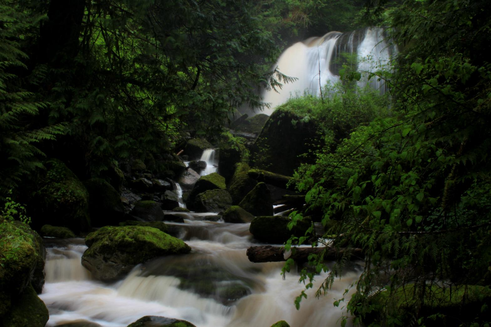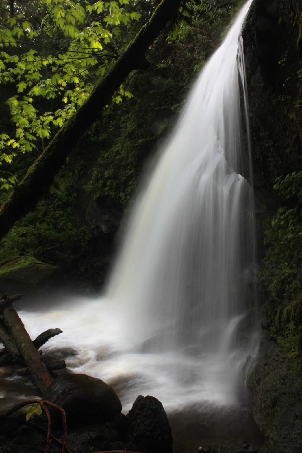

EMERALD FALLS |
|
|
RATING - 24.0
VR - 6 (Med) HR - 2.0 SR - 12/20 TYPE OF APPROACH - Bushwhack DIFFICULTY - Difficult LOCATION - Mt. Baker Highway TYPE - Segmented HEIGHT - 45' WIDTH - 45' GPS - N48 53.630 W122 10.067 ELEVATION - 930' |
When the creek is running at high volume, the viewpoints are limited because of the tremenous amount of spray kicked up and the difficult of fording the creek in any manner. I suspect that later in the summer when the volume is lower, there are almost endless possible views for photography. It's also probably possible to stand behind the waterfall at lower volume. The cliff that Emerald Falls drops over is a perfect example of conglomerate rock, almost too perfect. Pieces of the cliff have fallen off around the falls and look like someone tore up an old concrete road and through the pieces down the canyon. That's just what the cliff looks like though. |
| DIRECTIONS - Drive east on the Mt Baker Highway towards the town of Kendall. About 1/2 a mile before the gas station/Subway you will pass the North Fork Brewery/Pizza Restaurant/Wedding Chapel. Just after this turn left onto a forest service road (2nd left after the brewery). Follow this for a few hundred feet to a pit on the right and park. Walk up the road for about 1/3 of a mile to the first switchback. You'll hear Coal Creek on the left. Head down to the creek and start working your way upstream for about 1/3 of a mile to the falls. It's not easy going at all. | |
ADDITIONAL PICTURES (CLICK TO ENLARGE) AND
VIDEO
 |
|
HOME WHATCOM COUNTY LINKS BEST IN THE NW WATERFALLS FOR KIDS FLICKR FACEBOOK STORE |
|