![]()
INDEPENDENCE LAKE FALLS |
|
|
RATING -
17.4
VR - 1.8 (Small) HR - 3.0 SR - 12/20 TYPE OF APPROACH - Bushwhack DIFFICULTY - Medium LOCATION - Mountain Loop Highway TYPE - Segmented HEIGHT - 50' WIDTH - 15' GPS - N48 07.516 W121 32.052 ELEVATION - 3850' |
|
| DIRECTIONS - Drive east from Granite Falls along the Mountain Loop Highway. Just before Barlow Pass, turn left onto FR 4060, Coal Lake Road. Follow the road to its end at the Independence Lake Trailhead. The trail leads to the lake in a little over a mile. From the campsites on the north end of the lake, head north through the woods towards the sound of the falls. You can also follow the stream bed up to the base if you want to get closer. | |
HOME SNOHOMISH COUNTY LINKS BEST IN THE NW WATERFALLS FOR KIDS FLICKR FACEBOOK STORE |
|
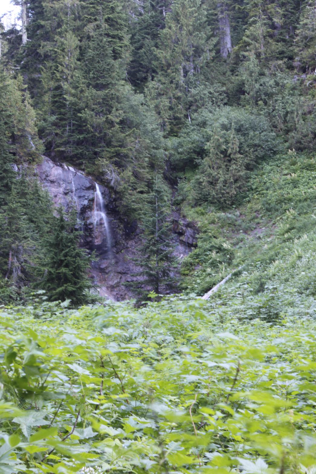
 This
little waterfall occurs on the inlet stream of about 500' upstream from
Independence Lake. The falls can be clearly heard from the camp sites
at the lake and can be seen my wandering through the woods towards the
sound. The volume of water was very low when we visited in August, but
I would imagine the waterfall could be pretty impressive when the snow is
melting. Visit for the gorgeous lake, but you might as well check out
this little waterfall while you're there.
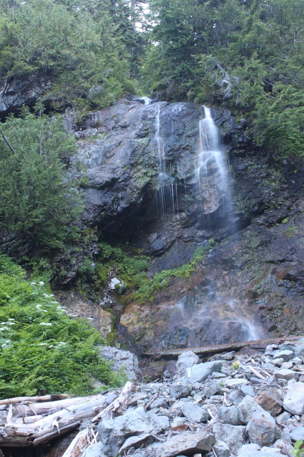
This
little waterfall occurs on the inlet stream of about 500' upstream from
Independence Lake. The falls can be clearly heard from the camp sites
at the lake and can be seen my wandering through the woods towards the
sound. The volume of water was very low when we visited in August, but
I would imagine the waterfall could be pretty impressive when the snow is
melting. Visit for the gorgeous lake, but you might as well check out
this little waterfall while you're there.