| DIRECTIONS - From Eatonville, follow the signs towards Mt. Rainier National Park which will take you along the Alder Cutoff Road. In a couple of miles the road will go over the railroad tracks. Park at the large turnout just after the tracks and find the trail in the middle of the pullout. The trail drops steeply down to the railroad trestle over the river. Cross the trestle and follow the trail to the right. When it hits the dirt road turn right and follow the road until you see the sign pointing towards "Falls". The trail heads downhill from there and eventually forks. The left fork heads down to "Lower Falls" and the right fork goes to the "Middle Falls". | |
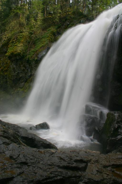
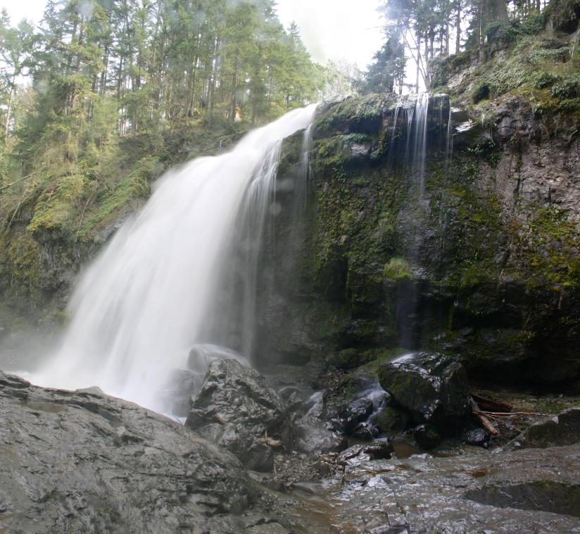
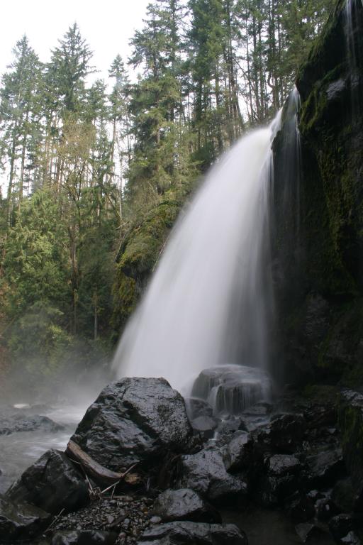
| LOCATION - Eatonville Area TYPE - Plunge HEIGHT - 120' WIDTH - 25' |
RATING -  TYPE OF APPROACH - Trail DIFFICULTY - Medium |
| NEARBY WATERFALLS - Lower Little Mashel Falls | Don't let the name fool you; this one's a monster! Little Mashel Falls occur on the Little Mashel River, hence the name. The river drops about 30' down several steps before shooting out and dropping another 90' or so in a massive display of water. When we visited the creek was really raging and the falls produced an amazing amount of spary. I actually had a hard time photographing this one because it is so large and the views from the creek bed are so close. Just downstream is the very scenic Lower Little Mashel Falls and upstream a short distance is Tom Tom Falls which we somehow missed. |
|
|
|
Above - A video of Little Mashel Falls Left - The main drop of the falls from the side |