![]()
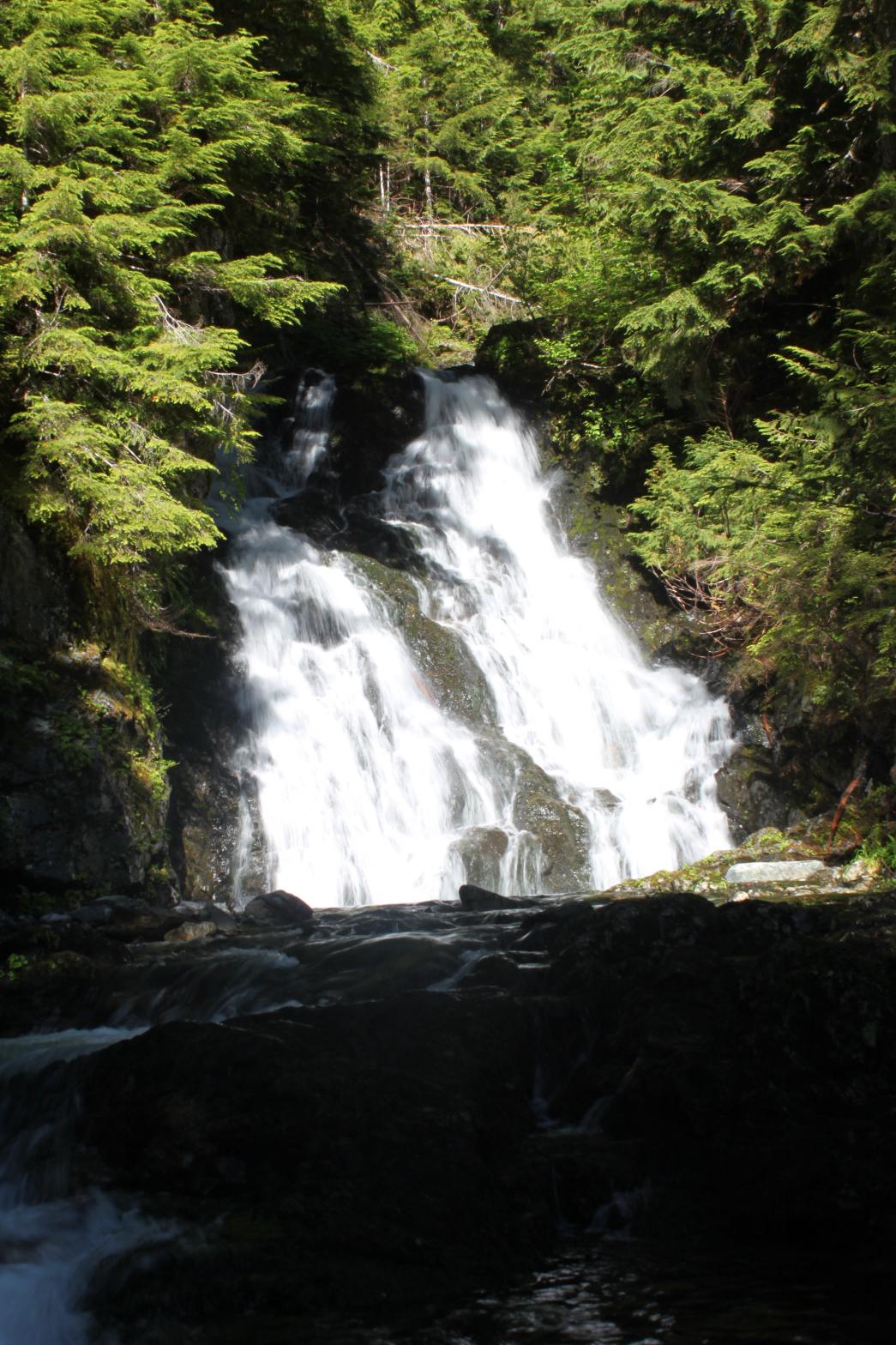
LOWER DOUBLE EAGLE FALLS |
|
|
RATING -
22.8
VR - 3.6 (Sm/Med) HR - 3.0 SR - 12/20 TYPE OF APPROACH - Trail DIFFICULTY - Medium LOCATION - Mountain Loop Highway TYPE - Segmented HEIGHT - 50' WIDTH - 15' GPS - N48 06.588 W121 32.199 ELEVATION - 2663' |
|
|
DIRECTIONS - Drive along the Mountain Loop Highway and turn off onto Deer
Creek Road (FR 4052). In about a mile, park at an old road heading off to
the east and start walking along it. The road is brushy but there is a
clear path through the brush. In about 1.5 miles, just past a nice
view of Big Four Mountain, the road switches back. Leave the road here
and cross a small stream to the northeast. Once on the other side you
should hear the waterfall. Scrambling down to the creek will reveal a
good view. NEARBY WATERFALLS - Diablo Falls, Double Eagle Falls |
|
|
VIDEO |
|
HOME SNOHOMISH COUNTY LINKS BEST IN THE NW WATERFALLS FOR KIDS FLICKR FACEBOOK STORE |
|