![]()
LOWER ST LOUIS FALLS |
|
|
RATING - 23.2
VR - 3.6 (M/Sm) HR - 2.0 SR - 16/20 TYPE OF APPROACH - Bushwhack DIFFICULTY - Fairly Difficult LOCATION - Mountain Loop Highway TYPE - Curtain HEIGHT - 30' WIDTH - 15' GPS - N48 06.566 W121 34.781 ELEVATION - 2547' |
|
|
DIRECTIONS - Drive along the Mountain Loop Highway and turn off onto Deer
Creek Road (FR 4052). In about 3.5 miles, the road crosses over Deer Creek,
the falls are just downstream from here. I parked at a pullout just
past the creek and then bushwhacked through the woods to end up downstream
from the falls a short distance. From there it was an easy rock hop up
towards the base. NEARBY WATERFALLS - Devils Peak Falls, St. Louis Falls |
|
ADDITIONAL PICTURES (CLICK TO ENLARGE) AND VIDEO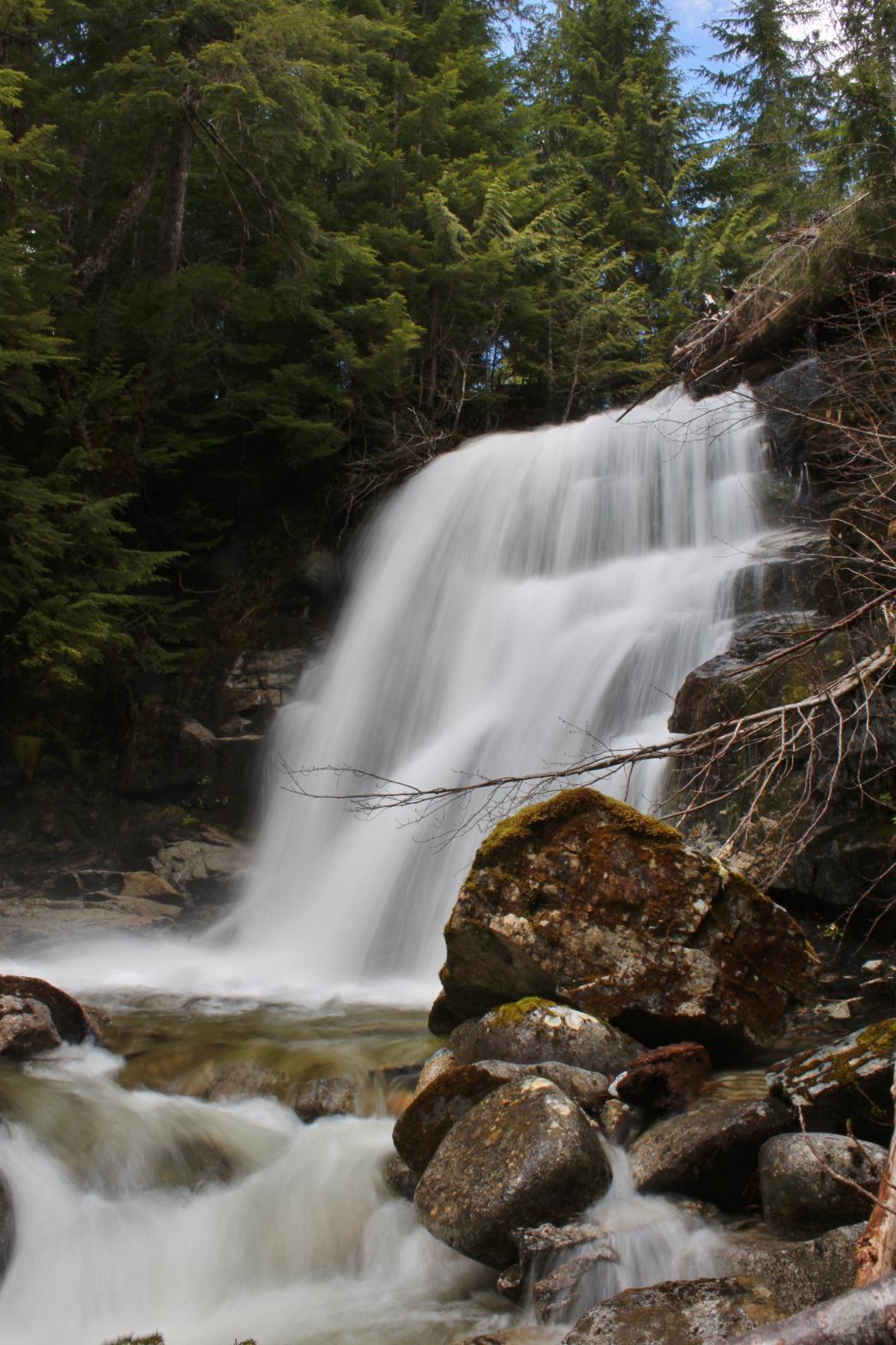
 |
|
HOME SNOHOMISH COUNTY LINKS BEST IN THE NW WATERFALLS FOR KIDS FLICKR FACEBOOK STORE |
|
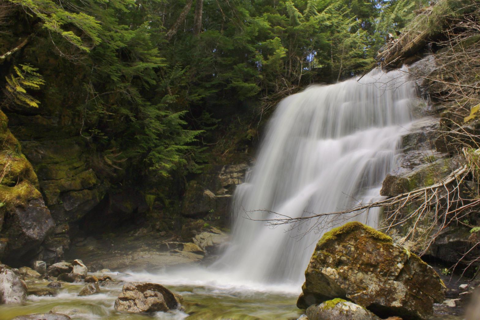
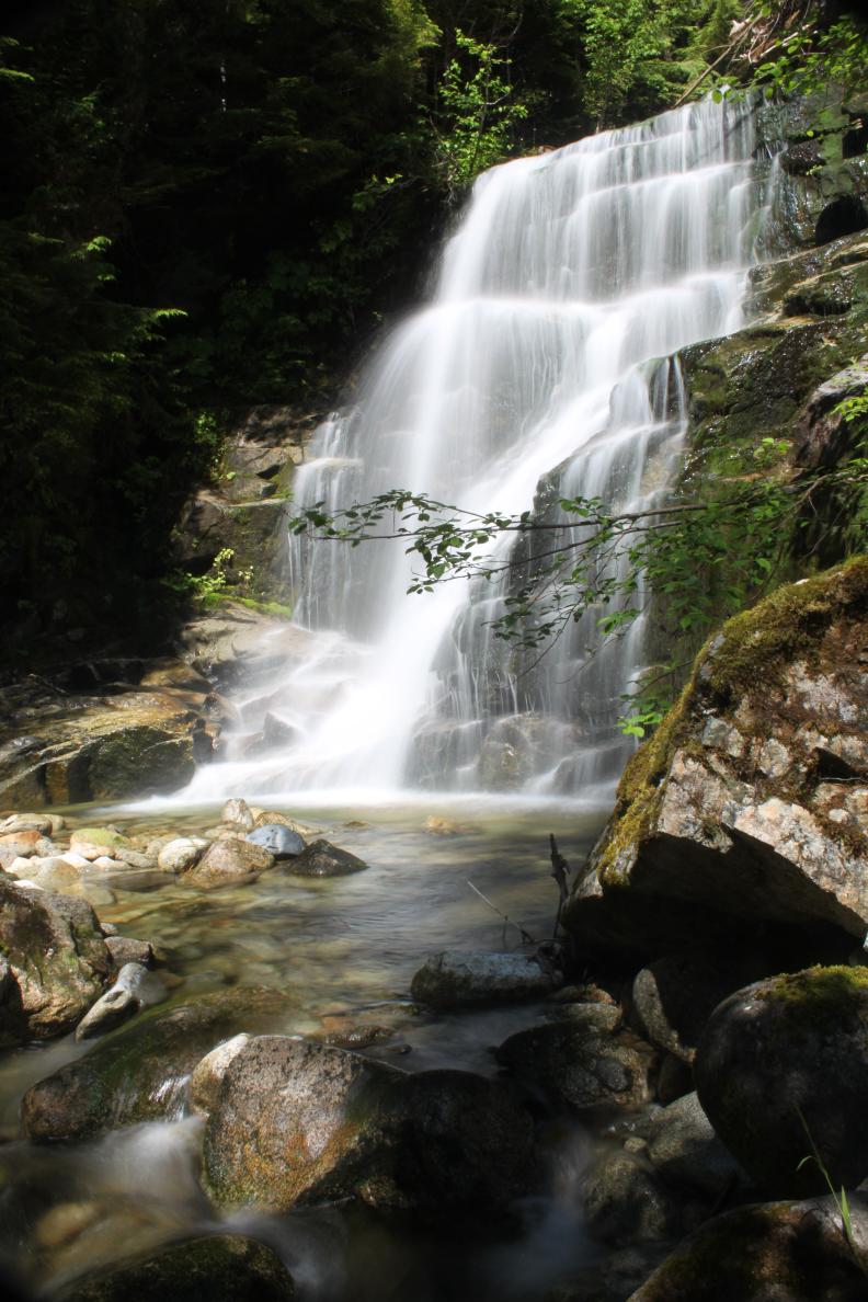 A short distance downstream from St. Louis Falls, Deer Creek drops over a
lower waterfall that is not as large, but is probably a prettier waterfall.
The creek spreads out to about 15' wide and then drops 30' in a gorgeous
curtain of water. While the top of the falls is only about 30' from
the road, getting down to the bottom for a clear view was pretty difficult.
All the tiny variations in the way the water falls means this could be a
very photographic waterfall with the right lighting. During the
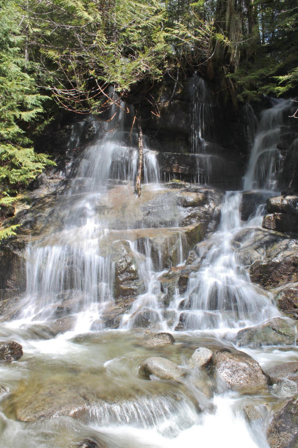
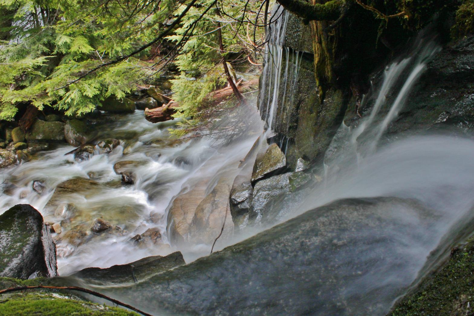
snowmelt season, a second, seasonal waterfall can be seen a short distance
downstream dropping into Deer Creek (see additional pictures below).
A short distance downstream from St. Louis Falls, Deer Creek drops over a
lower waterfall that is not as large, but is probably a prettier waterfall.
The creek spreads out to about 15' wide and then drops 30' in a gorgeous
curtain of water. While the top of the falls is only about 30' from
the road, getting down to the bottom for a clear view was pretty difficult.
All the tiny variations in the way the water falls means this could be a
very photographic waterfall with the right lighting. During the
snowmelt season, a second, seasonal waterfall can be seen a short distance
downstream dropping into Deer Creek (see additional pictures below).