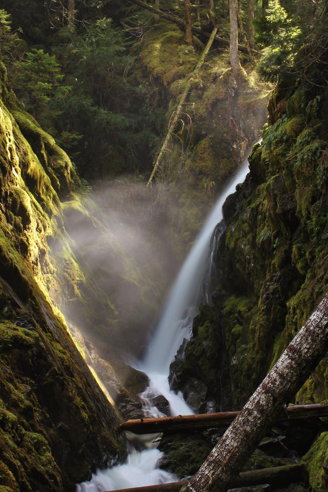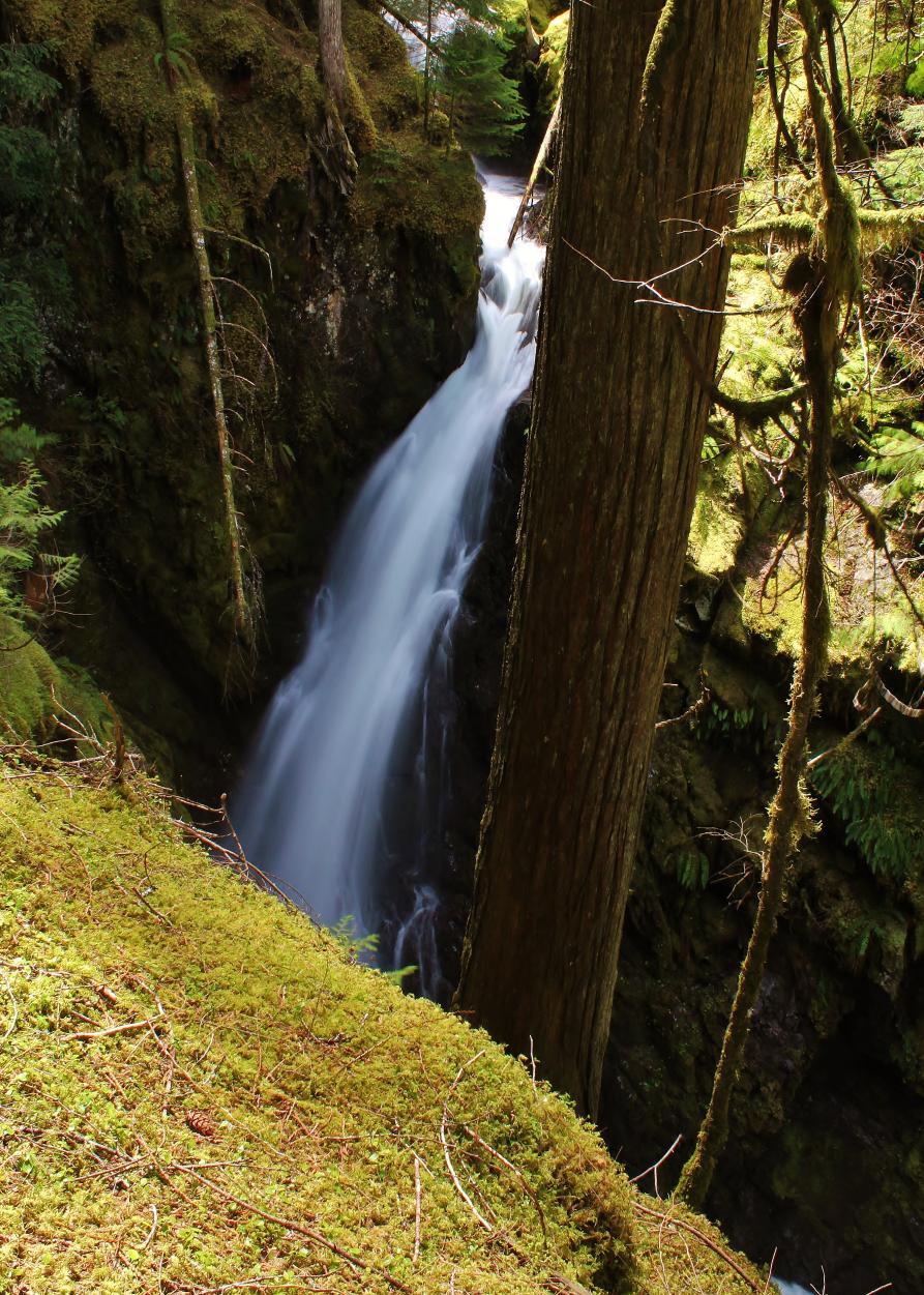

THOMPSON CREEK FALLS |
|
|
RATING -
34.0
VR - 4.0 (Med/Sm) HR - 4.0 SR - 18/20 TYPE OF APPROACH - Bushwhack DIFFICULTY - Very Difficult LOCATION - Thompson Creek Road TYPE - Plunge HEIGHT - 65' WIDTH - 10' GPS - N48 53.221 W121 52.620 ELEVATION - 2343' |
|
| DIRECTIONS - Take
the Mt Baker Highway east to Glacier and turn right onto Glacier Creek Road.
In about a mile turn left onto Thompson Creek Road and follow it for a few
miles. Park at a large pullout on the left side of the road.
Walk up the road for 1/3 of a mile to a trail on the right (it's easy to
miss so pay attention). Follow this mountain biking trail for another
1/3 of a mile to an overgrown road on the right. Follow this to its
end. From there you can hear the creek. Begin climbing upstream
for about 1/4 of a mile to the falls. The going is easy atop the ridge
but it's very difficult to get down to the creek. NEARBY WATERFALLS - Upper Thompson Creek Falls |
|
|
ADDITIONAL PICTURES (CLICK TO ENLARGE) AND
VIDEO

 |
|
HOME WHATCOM COUNTY LINKS BEST IN THE NW WATERFALLS FOR KIDS FLICKR FACEBOOK STORE |
|