![]()
IRON CREEK FALLS |
|
|
RATING -
37.2
VR - 3.6 (M/Sm) HR - 7.0 SR - 12/20 TYPE OF APPROACH - Roadside DIFFICULTY - Very Easy LOCATION - Illabot Creek Road (FR 16) TYPE - Tiered HEIGHT - 279' WIDTH - 40' |
|
| DIRECTIONS - Head
east along Highway 20 and turn south onto Highway 530. In a couple miles, turn left
onto Illabot Creek Road. At somewhere around 8-10 miles, the road goes around a
sharp corner and over Iron Creek (no sign). Iron Creek Falls can be seen from the road.
It is possible to reach the base of the falls by walking up the creek and I
recommend it if you can make it. NEARBY WATERFALLS - East Iron Falls, Upper Hilt Creek Falls |
|
OTHER PICTURES (CLICK TO ENLARGE) AND VIDEO
|
|
HOME SKAGIT COUNTY LINKS BEST IN THE NW WATERFALLS FOR KIDS FLICKR FACEBOOK STORE |
|
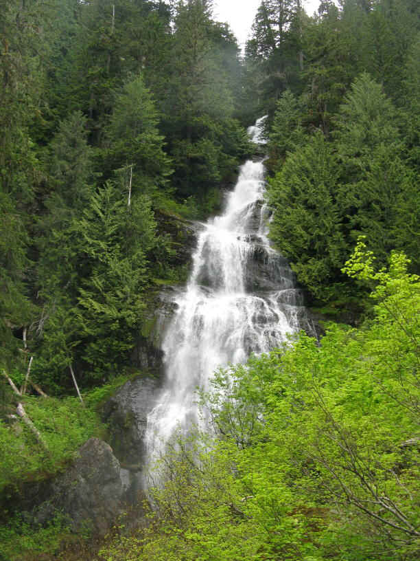
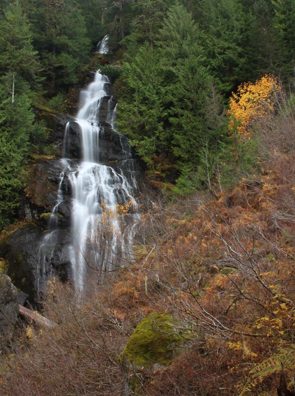 This
nice waterfall occurs where the West Branch of Iron Creek drops 279' in a
series of drops over a large cliff face. I was shocked when I measured
the waterfall as my eyeball estimates are usually pretty accurate. In
this case I was off by 100'. This is probably due to foreshortening
and the the fact that the upper sections of the waterfall are fairly well
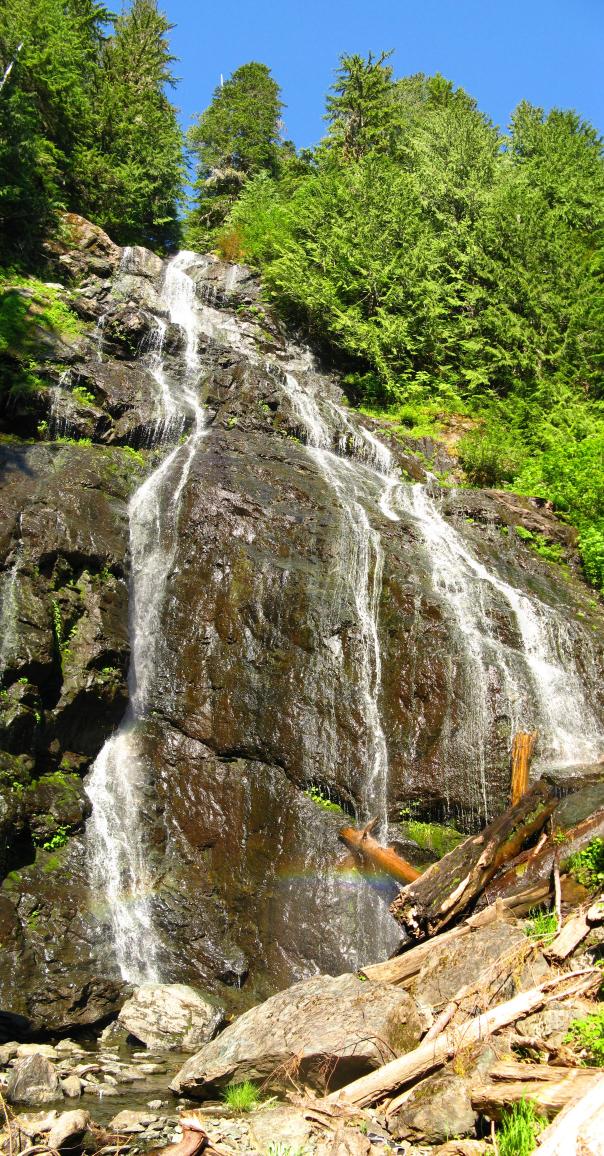
hidden from the base. The falls can be seen easily
from the road, but a short bushwhack will allow a view from the base.
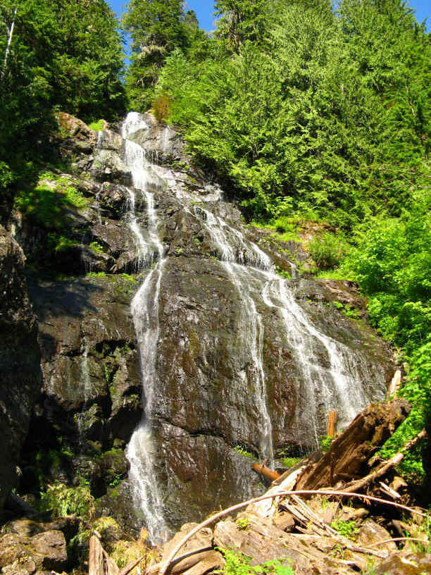
At the height of snowmelt or after a few days of rain, the falls can be
extremely impressive, but by by the end of the summer the creek all but
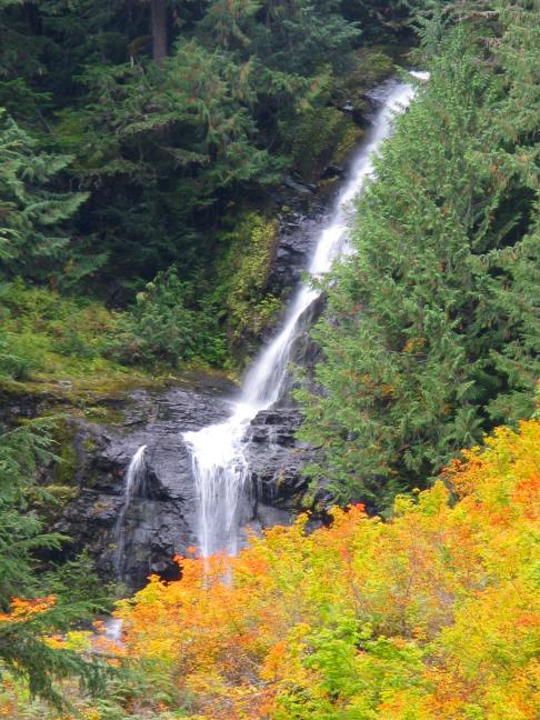
dries up. The area surrounding the falls consists of a massive boulder
field full of slide alder and vine maple. This boulder field fires up
every autumn when these bushes turn color.
This
nice waterfall occurs where the West Branch of Iron Creek drops 279' in a
series of drops over a large cliff face. I was shocked when I measured
the waterfall as my eyeball estimates are usually pretty accurate. In
this case I was off by 100'. This is probably due to foreshortening
and the the fact that the upper sections of the waterfall are fairly well
hidden from the base. The falls can be seen easily
from the road, but a short bushwhack will allow a view from the base.
At the height of snowmelt or after a few days of rain, the falls can be
extremely impressive, but by by the end of the summer the creek all but
dries up. The area surrounding the falls consists of a massive boulder
field full of slide alder and vine maple. This boulder field fires up
every autumn when these bushes turn color.