![]()
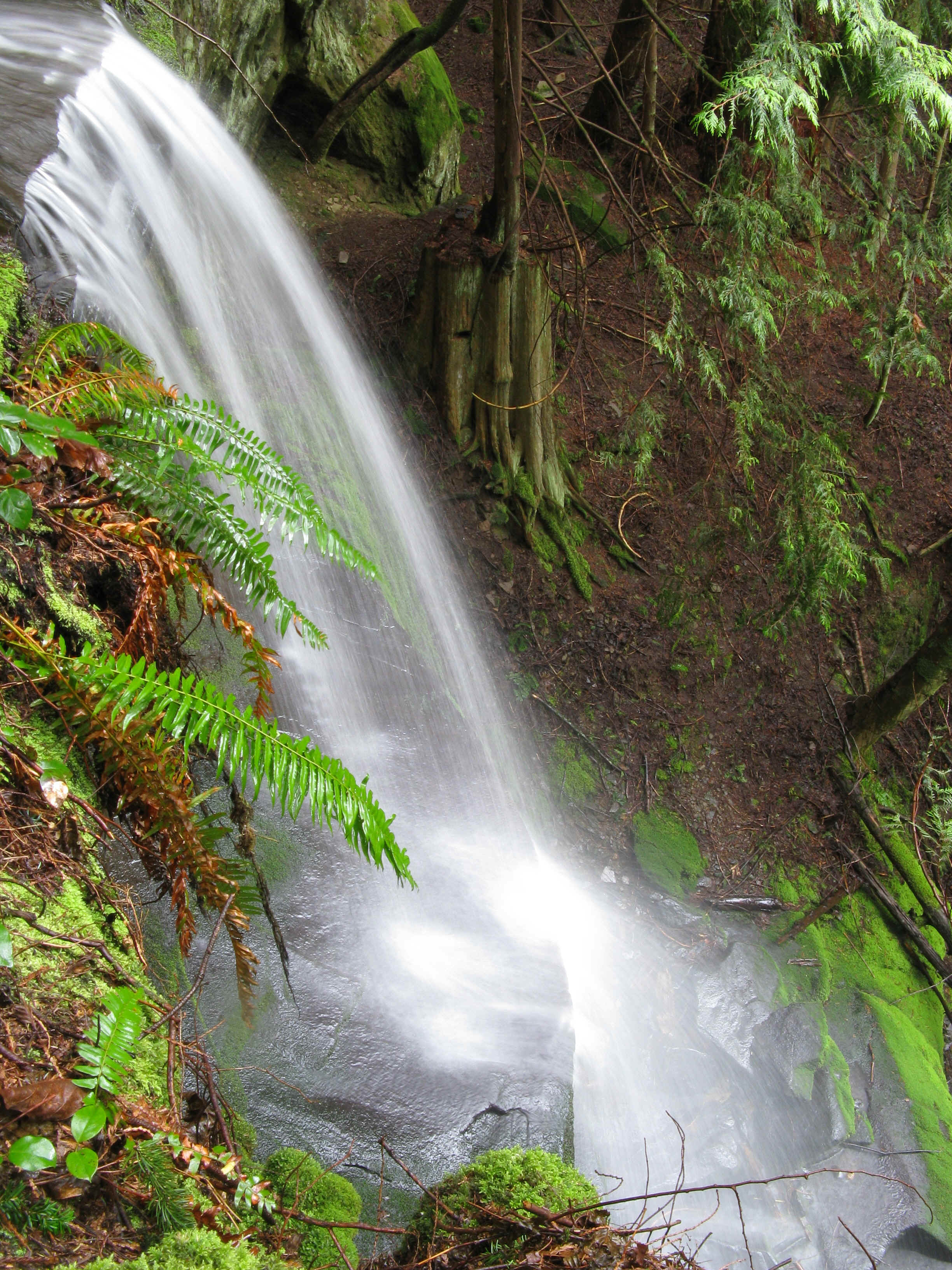
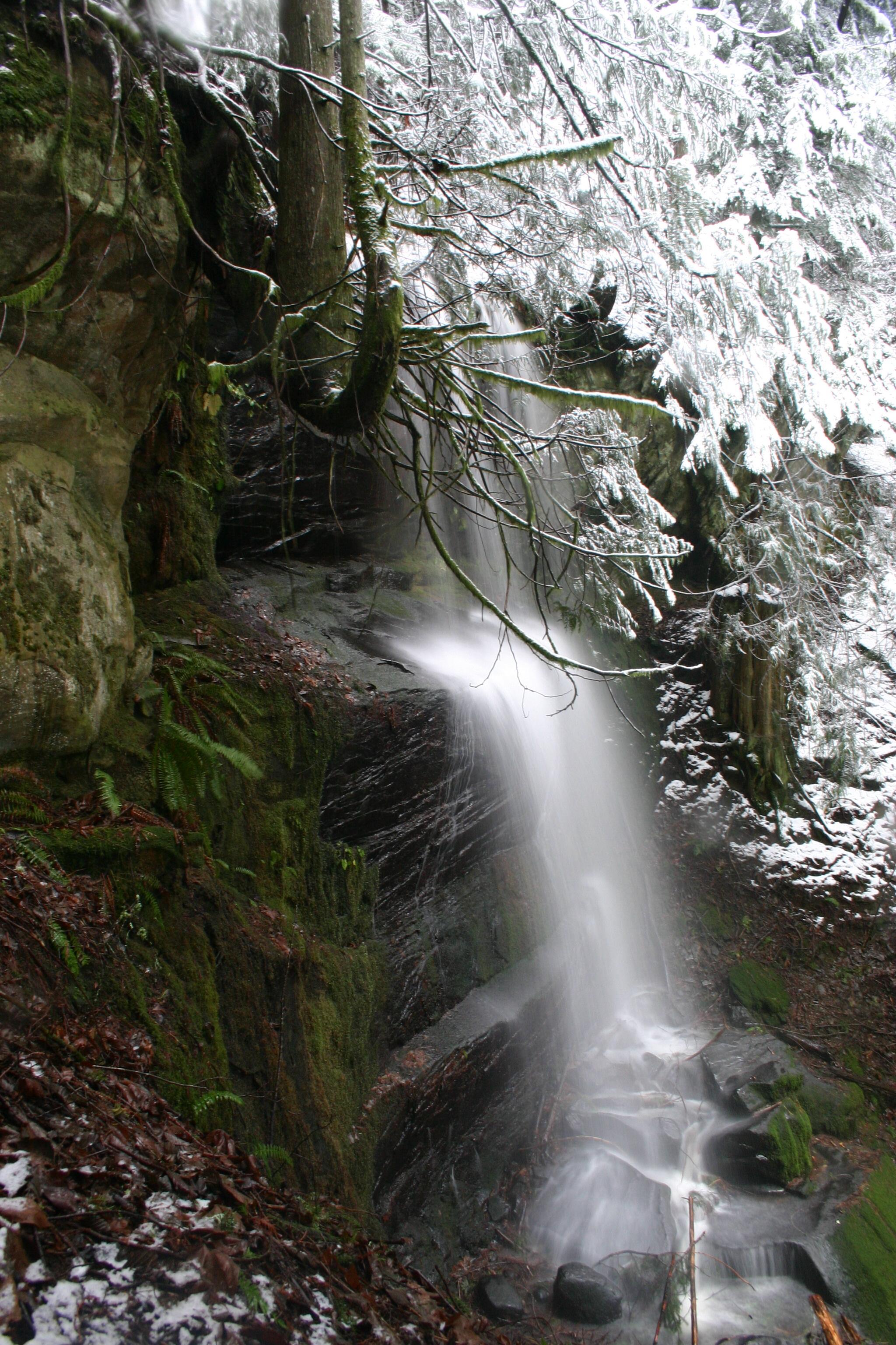
LOST LAKE FALLS |
|
|
RATING - 24.0
VR - 2 (Small) HR - 5.0 SR - 14/20 TYPE OF APPROACH - Trail DIFFICULTY - Difficult LOCATION - Chuckanut Mountain TYPE - Tiered HEIGHT - 90' WIDTH - 15' GPS - N48 39.430 W122 27.424 ELEVATION - 1150'
|
|
| DIRECTIONS - Follow
the directions to Chuckanut Mountain Falls and
continue past it. Turn right onto the Lost Lake Trail. Follow this for a
couple miles (staying left at the fork). Eventually, you will see Lost Lake through
the trees to your right. At the next fork, turn right and follow the trail along the
eastern side of Lost Lake. At the lake's outlet stream, leave the trail and scramble
down the hillside to the falls. NEARBY WATERFALLS - Chuckanut Mountain Falls, Clayton Beach Falls, Oyster Creek Falls, Upper Oyster Creek Falls |
|
|
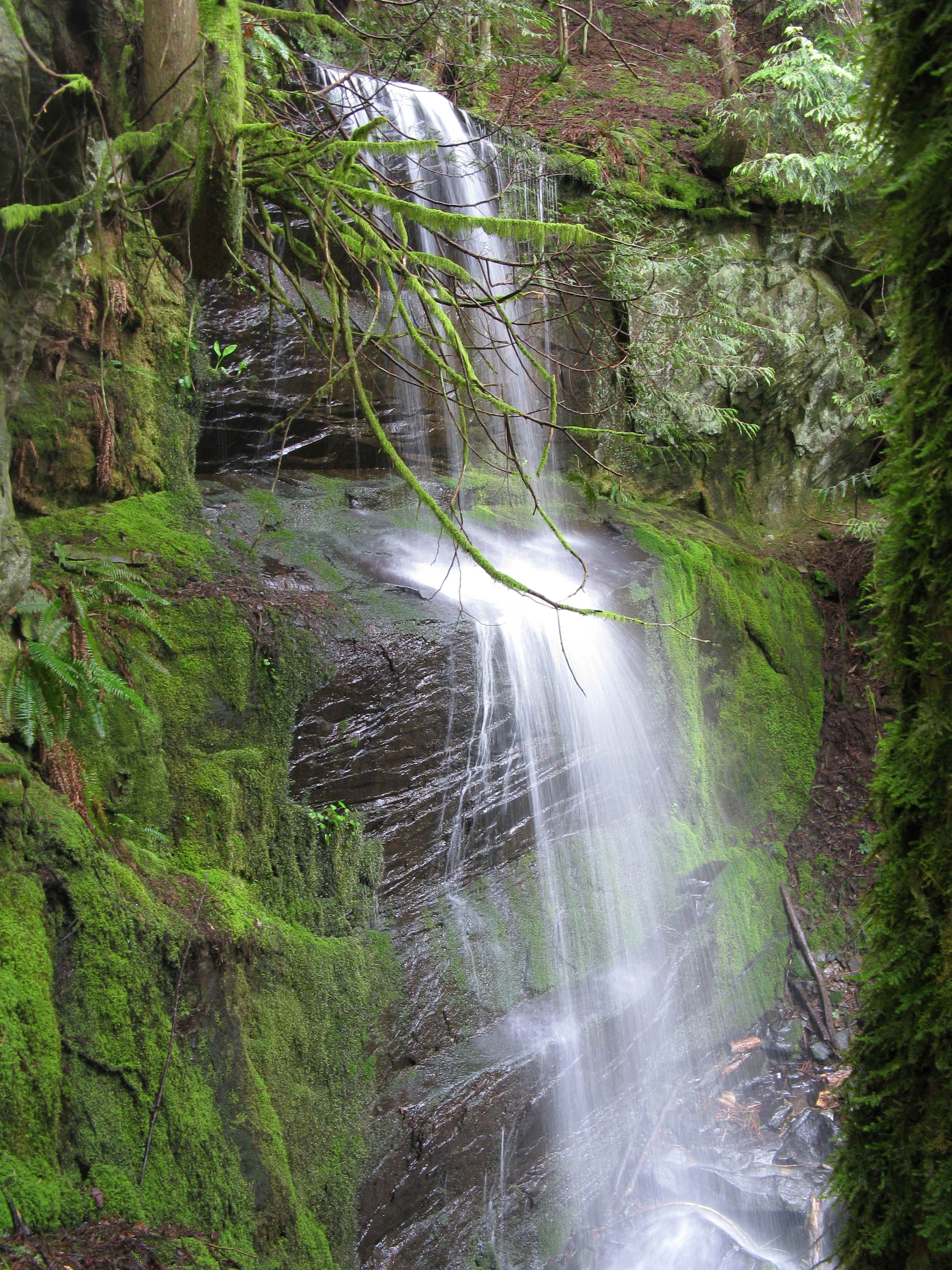
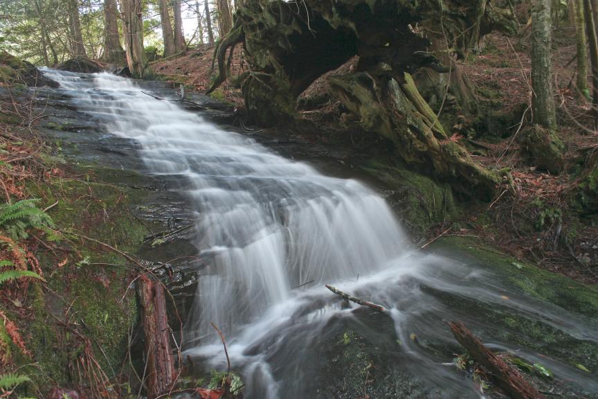
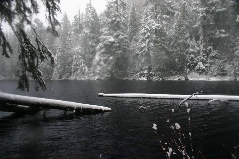
ADDITIONAL PICTURES (CLICK TO ENLARGE)
 |
|
HOME WHATCOM COUNTY LINKS BEST IN THE NW WATERFALLS FOR KIDS FLICKR FACEBOOK STORE |
|