![]()
LOWER DAVIS CREEK FALLS |
|
|
RATING -
19.2
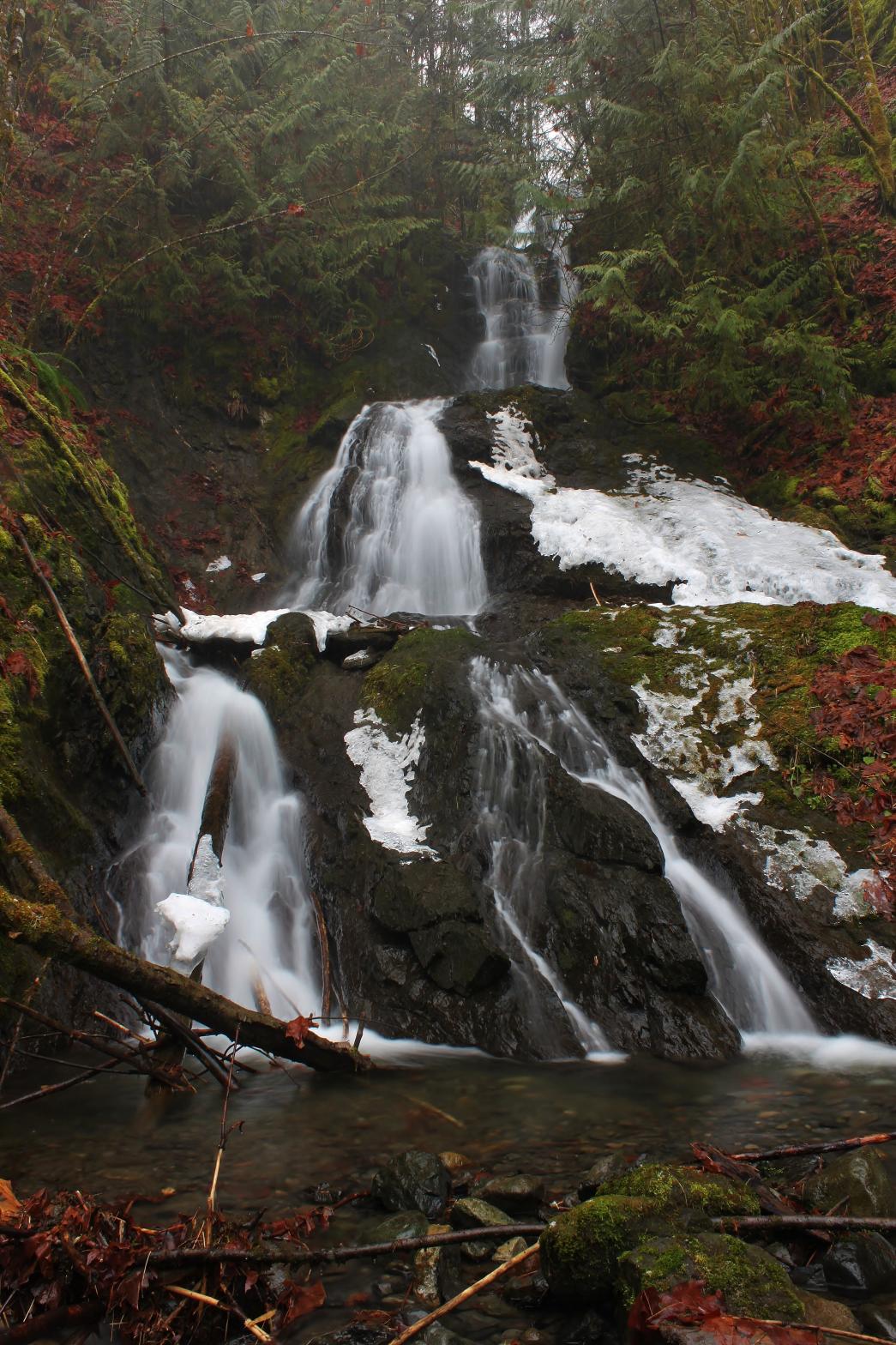
VR - 1.8 (Small) HR - 4.0 SR - 12/20 TYPE OF APPROACH - Bushwhack DIFFICULTY - Fairly Difficult LOCATION - Mt. Baker Highway TYPE - Cascades HEIGHT - 75' WIDTH - 15' GPS - N48 52' 44.54", W121 55' 49.40" ELEVATION - 1190' |
 Davis
Creek near Glacier is chock full of waterfalls. There are at least four
major waterfalls on the creek. Thus far we have visited three of them.
The lowermost waterfall on the creek occurs just downstream from Coal Creek
Road, but is pretty tough to get a clear view of. The falls consists
of 4 back-to-back sliding drops totaling about 65' in height. This is
followed by a final drop of about 10'. It may be possible to get a
partial view of the falls from the top of the ridge on the east side of the
canyon. This should be much easier than climbing to the bottom of the
little canyon. There are some pretty little cascades above the falls
that could probably be added to the height but it seems a little
unnecessary. Davis
Creek near Glacier is chock full of waterfalls. There are at least four
major waterfalls on the creek. Thus far we have visited three of them.
The lowermost waterfall on the creek occurs just downstream from Coal Creek
Road, but is pretty tough to get a clear view of. The falls consists
of 4 back-to-back sliding drops totaling about 65' in height. This is
followed by a final drop of about 10'. It may be possible to get a
partial view of the falls from the top of the ridge on the east side of the
canyon. This should be much easier than climbing to the bottom of the
little canyon. There are some pretty little cascades above the falls
that could probably be added to the height but it seems a little
unnecessary. |
|
DIRECTIONS - Follow the directions to
Middle Davis Creek Falls. Walk back down the road a few hundred
feet to the previous corner and then head downstream along the top of the
ridge. The safe route would be to continue following the ridge until
you reach the creek and then head upstream. I left the ridge and
climbed very steeply down the edge of the canyon to the base so that's a
possibility (although not advised). NEARBY WATERFALLS - Davis Creek Falls, Middle Davis Creek Falls |
|
ADDITIONAL PICTURES (CLICK TO ENLARGE) AND VIDEO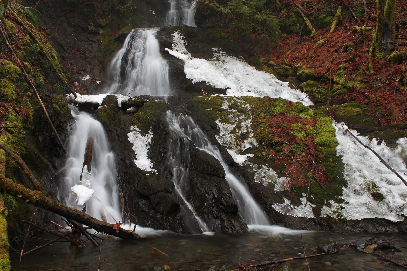 |
|
HOME WHATCOM COUNTY LINKS BEST IN THE NW WATERFALLS FOR KIDS FLICKR FACEBOOK STORE |
|