
LOWER TWIN FALLS |
|
|
RATING - 51.8
VR - 5.4 (Med) HR - 7.0 SR - 14/20 TYPE OF APPROACH - Trail + Bushwhack DIFFICULTY - Very Difficult LOCATION - Ashland Lakes Trail TYPE - Segmented Horsetail HEIGHT - 236' WIDTH - 45' |
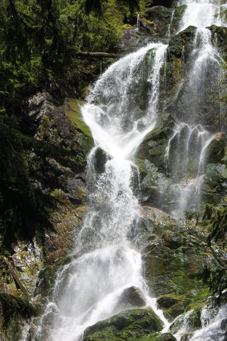
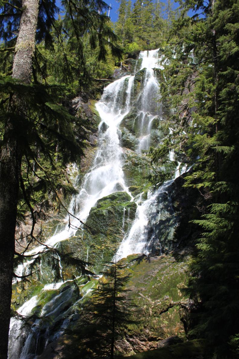
Many pictures can be found of the upper falls, dropping into the lake, but I had never seen a picture of the lower falls until I took mine. This is very surprising considering that it's visible from the trail, and wasn't all that difficult to get to from there. I have to imagine that other people have been to the bottom of the falls but pictures had yet to show up online. |
|
DIRECTIONS - Follow the directions to Twin
Falls. The lower falls can be seen through the trees from the
trail. To get to the base, leave the trail at the final switchback (a
couple hundred feet before the currently broken bridge) and wander southeast
for about 30' before climbing down the hillside. The climb is short,
but very steep. Be careful but once you get there you will get a great
view of the falls from atop a large boulder. NEARBY WATERFALLS - Lower Schweitzer Falls, Schweitzer Falls, Twin Falls |
|
ADDITIONAL PICTURES (CLICK TO ENLARGE) AND
VIDEO
 |
|
HOME SNOHOMISH COUNTY LINKS BEST IN THE NW WATERFALLS FOR KIDS FLICKR FACEBOOK STORE |
|