|
RATING - 40.8
|
The left segment of the falls starts with a cool segmented drop of around 250' followed immediately by back-to-back 100 footers. The right hand segment does it backwards with two 100' drops above a super nice 199' tall segmented plunge. Below this the two creeks combine and drop another 100' or so, culminating in a 32' tall plunge as it joins Perry Creek. With enough effort (and it would be a considerable amount), it should be possible to get to the base and then scramble at least part of the way up the falls. I suspect from up close the 199' plunge on the right segment would be really, REALLY cool. |
OTHER PICTURES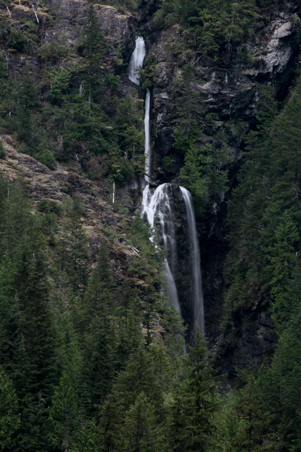 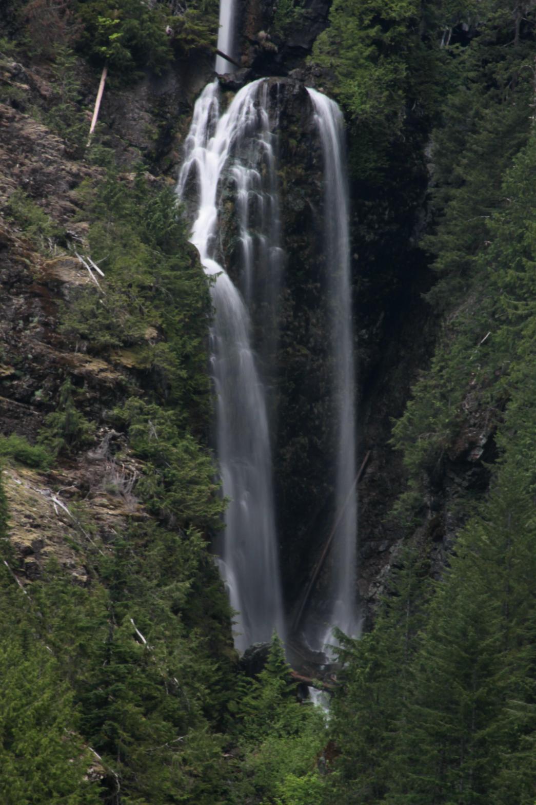 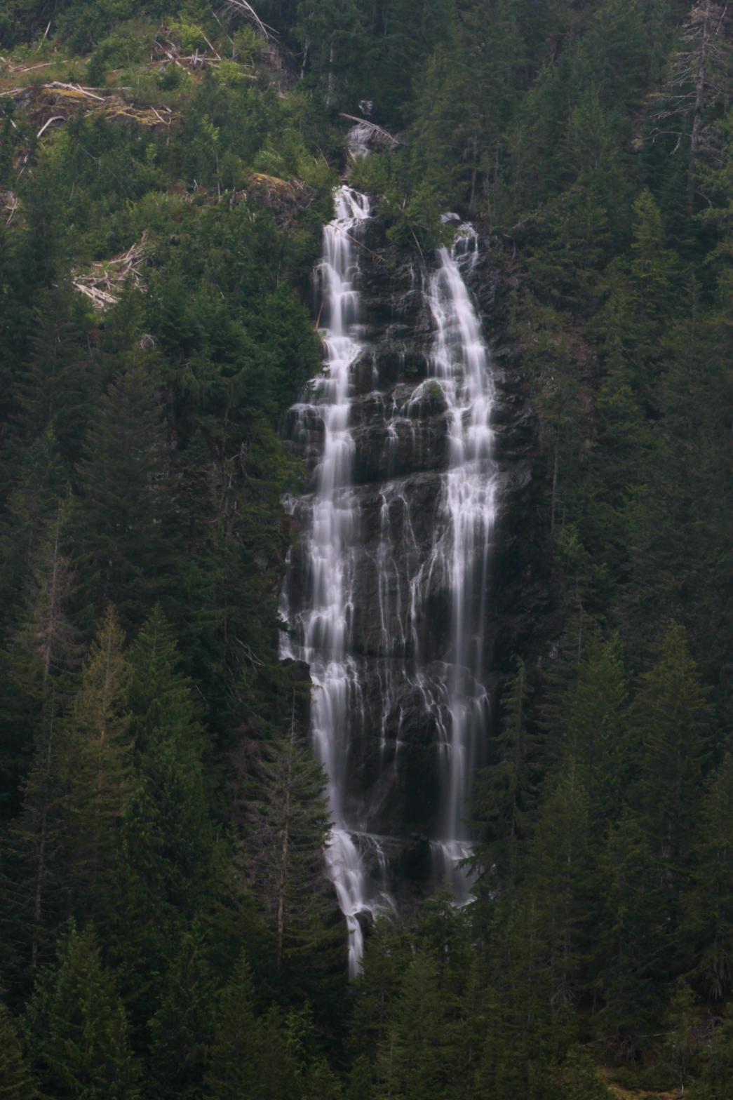 |
|
VR - 3.6 (Medium) HR - 9.0 SR - 8/20 TYPE OF APPROACH - Trail DIFFICULTY - Medium LOCATION - Perry Creek Trail TYPE - Segmented HEIGHT - 561' * WIDTH - 200' |
||
|
DIRECTIONS - Drive east on the Mountain Loop Highway
east from Granite Falls to the Mt. Dickerman/Perry Creek Trailhead. Pitchfork Falls
can be seen across the valley starting at about two miles down the Perry
Creek Trail. NEARBY WATERFALLS - Flatrock Falls, North Dickerman Falls, Perry Creek Falls |
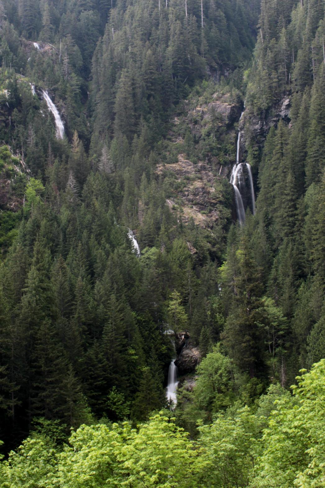 Pitchfork Falls occurs
where two streams tumble hundreds of feet down the eastern slope of Stillaguamish Peak and
then combine for one final drop. I measured the falls at 561' but
this was nearing the end of my rangefinder's range so I'm not sure if that's
entirely accurate or not.
Pitchfork Falls occurs
where two streams tumble hundreds of feet down the eastern slope of Stillaguamish Peak and
then combine for one final drop. I measured the falls at 561' but
this was nearing the end of my rangefinder's range so I'm not sure if that's
entirely accurate or not.