![]()
SHOESTRING FALLS |
|
|
RATING -
50.0
VR - 4.0 (Med/Sm) HR - 11.0 SR - 6/20 TYPE OF APPROACH - Trail DIFFICULTY - Very Easy LOCATION - Foss River Trail TYPE - Tiered HEIGHT - 1000' WIDTH - 20' GPS - N47 37' 51.74" W121 19' 0.27" ELEVATION - 2000' |
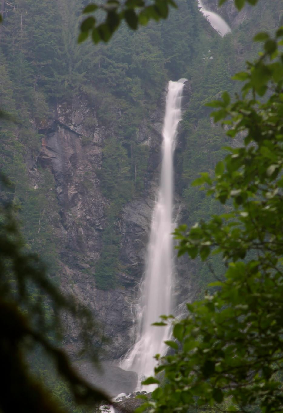 Shoestring
Falls is a very tall waterfall plunging towards the West Fork of the Foss
River falling around 1000' over a series of drops. Most of the lower
portions of the falls cannot be seen from the trail, but luckily the largest
single drop can be seen easily. Were this waterfall anywhere else, it
would be a prime attraction. Unfortunately for Shoestring Falls, and
fortunately for us, there are much bigger fish to fry further up the trail.
Some guide books name Sunray Falls located just south of Shoestring and also
visible from the trail. I found the volume of water to be too low to
warrant an entry on the site, but there's no reason for you not to take a
look at it as well. The best view of Sunray Falls is from right around the
bridge. Shoestring
Falls is a very tall waterfall plunging towards the West Fork of the Foss
River falling around 1000' over a series of drops. Most of the lower
portions of the falls cannot be seen from the trail, but luckily the largest
single drop can be seen easily. Were this waterfall anywhere else, it
would be a prime attraction. Unfortunately for Shoestring Falls, and
fortunately for us, there are much bigger fish to fry further up the trail.
Some guide books name Sunray Falls located just south of Shoestring and also
visible from the trail. I found the volume of water to be too low to
warrant an entry on the site, but there's no reason for you not to take a
look at it as well. The best view of Sunray Falls is from right around the
bridge. |
|
DIRECTIONS - Drive east on Highway 2 past Skykomish and turn right onto Foss
River Road (FR 68). Follow this road for 4.7 miles and turn left onto
FR 6835 and follow it to the trailhead at the end. Begin hiking the
trail. You will see the falls almost immediately with the views
getting better as you go. A short distance before the bridge over the
river will be your best view where most of the falls can be seen. NEARBY WATERFALLS - Lower Copper Creek Falls, Middle Copper Creek Falls |
|
HOME KING COUNTY LINKS BEST IN THE NW WATERFALLS FOR KIDS FLICKR FACEBOOK STORE |
|