
TWIN FALLS |
|
|
RATING -
46.2
VR - 3.6 (Med/Sm) HR - 7 SR - 14/20 TYPE OF APPROACH - Bushwhack DIFFICULTY - Medium LOCATION - Glacier Creek Road TYPE - Segmented HEIGHT - 247' * WIDTH - 20' GPS - N48 49.315 W121 54.640 ELEVATION - 3219' |
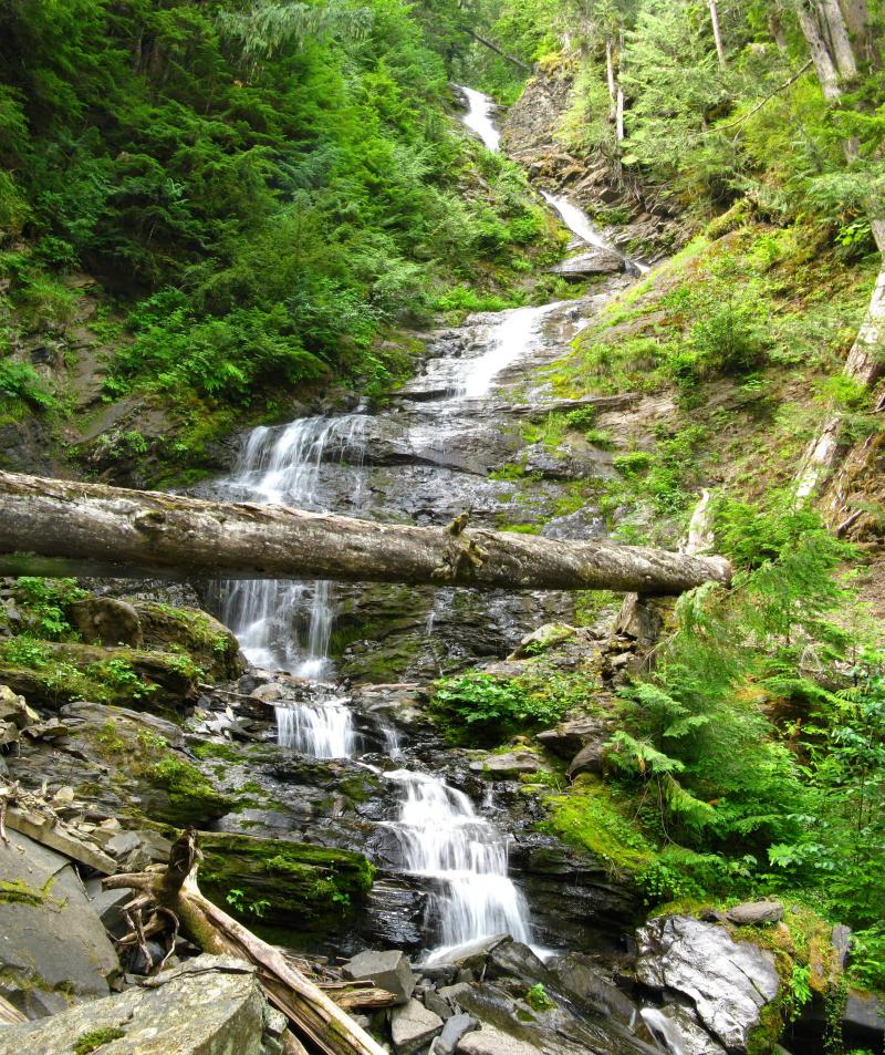
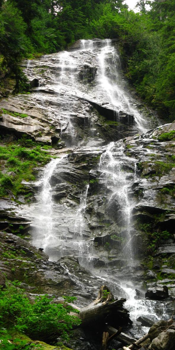
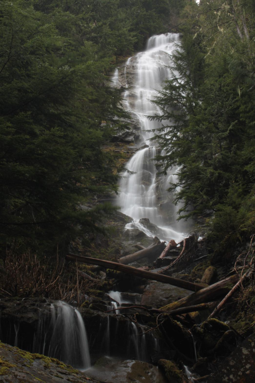
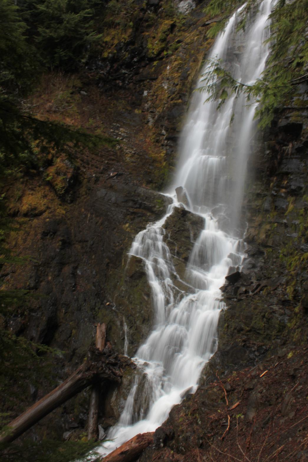
The right half is a long, S-shaped falls that stands 185' tall. Add in a couple smaller tiers below including the 20' lower tier that must be climbed over to reach the top, and the total height is 247'. Aerial imagery shows at least one addition tier upstream before the creeks split. This drop is likely to bring the total height closer to 400', but there doesn't appear to be any way to see this section. All in all, this is a nice waterfall, but it's pretty tricky to get good view. |
| DIRECTIONS - Head
East on the Mt. Baker Highway to the town of Glacier. Just past the town turn right
onto Glacier Creek Road. After a few miles the road crosses over Glacier Creek and
begins to climb up hill. You will cross over the same small creek three times.
Park at the third crossing and head upstream a little ways to the falls. The right
half is a little harder to get to as you must climb up a lower falls to reach it.
Devils Club is profuse in the area so wear gloves. NEARBY WATERFALLS - Kulshan Falls, Rock Gnome Falls, Roosevelt Falls |
|
ADDITIONAL PICTURES (CLICK TO ENLARGE) AND
VIDEO


 |
|
HOME WHATCOM COUNTY LINKS BEST IN THE NW WATERFALLS FOR KIDS FLICKR FACEBOOK STORE |
|