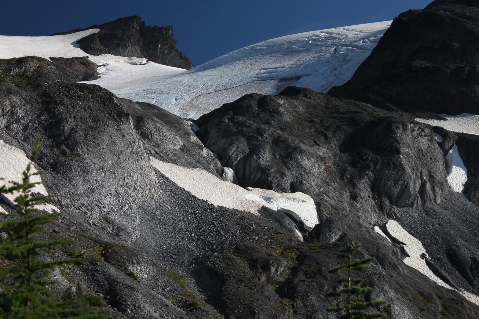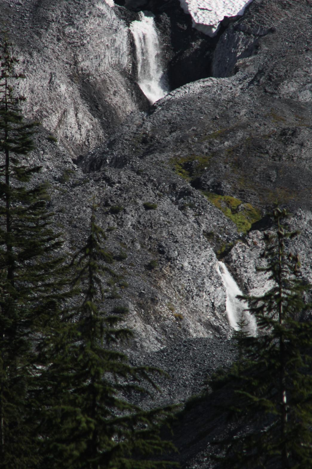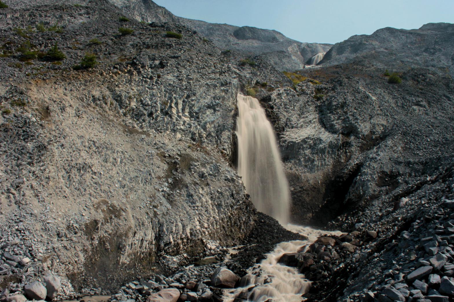

UPPER BAR DIVIDE FALLS |
|
|
RATING -
54.0
VR - 6.0 (Med) HR - 7.0 SR - 12/20 TYPE OF APPROACH - Trail + Bushwhack DIFFICULTY - Very Difficult LOCATION - Sholes Basin TYPE - Tiered HEIGHT - 257' WIDTH - 20' GPS - N48 49.489 W121 46.520 ELEVATION - 4953' |
Most likely, this waterfall is almost always partially covered with snow. Only during extremely dry summers, like the summer of 2015, will the entire waterfall be snow-free. I wouldn't recommend making the trip into this area just to see this waterfall, but if you're already in the area to check out the glacier, it's worth the short side trip for the partial view.
|
| DIRECTIONS -
Follow the directions to Sholes Glacier
Falls. Scramble across the rocks to the west until you see the
creek draining from the Sholes Glacier. Follow the top of the ridge
down for a few hundred feet to views of the falls. It's possible to
get to the base, but requires a steep scramble down the 300' tall canyon
walls. NEARBY WATERFALLS - Bar Divide Falls, Sholes Glacier Falls, Upper Sholes Creek Falls |
|
ADDITIONAL PICTURES (CLICK TO ENLARGE) AND
VIDEO

 Upper Bar Divide Falls |
|
HOME WHATCOM COUNTY LINKS BEST IN THE NW WATERFALLS FOR KIDS FLICKR FACEBOOK STORE |
|