![]()
UPPER SHOLES CREEK FALLS |
|
|
RATING -
41.0
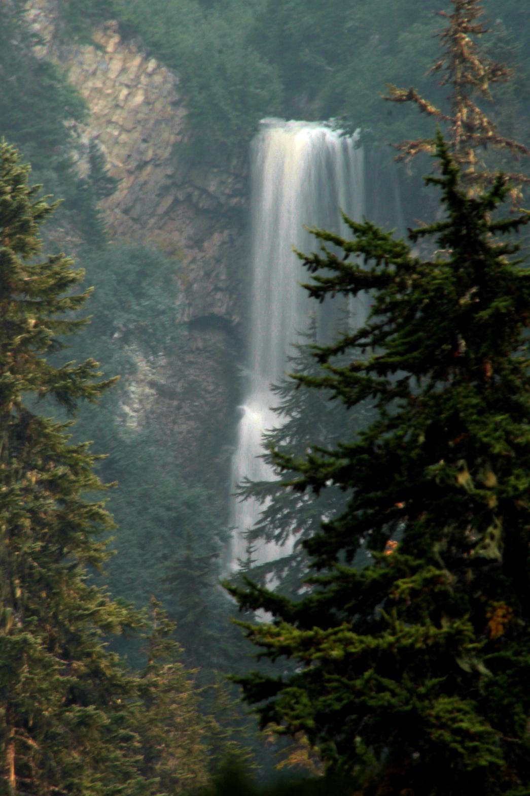
VR - 6.0 (Med) HR - 5.5 SR - 8/20 TYPE OF APPROACH - Bushwhack DIFFICULTY - Extremely Difficult LOCATION - Sholes Basin TYPE - Plunge HEIGHT - 125' WIDTH - 25' GPS - N48 49.905 W121 46.618 ELEVATION - 4292' |
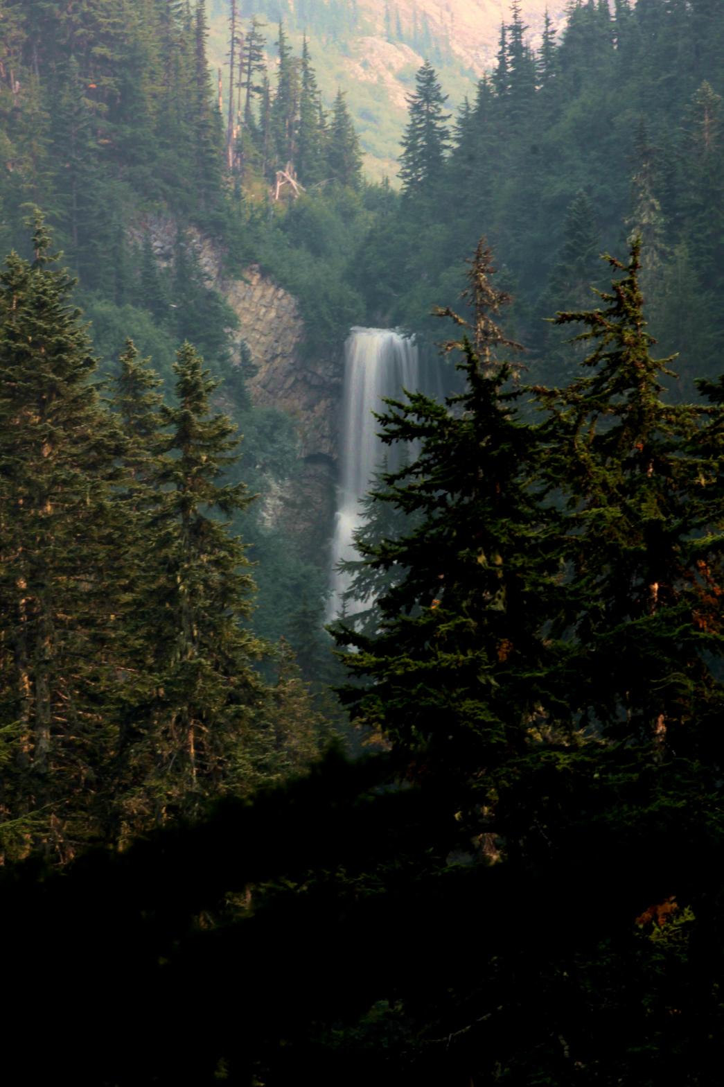 Upper
Sholes Creek Falls is perhaps the single most disappointing waterfall on Mt.
Baker. Now this disappointment has absolutely nothing to do with the
quality of the waterfall, but with the difficulty of seeing it. The
waterfall drops somewhere around 125' in height in a 20' wide curtain of
water, hitting the cliff about halfway down. From near the falls, the
canyon rim is way too steep to get a view without repelling gear. I
was able to find one fairly clear view of the falls from about 1/2 a mile
downstream, but even that had a tree or two in the way. Were it
possible to get to the base, this would probably be one of the better
waterfalls on the entire mountain. Upper
Sholes Creek Falls is perhaps the single most disappointing waterfall on Mt.
Baker. Now this disappointment has absolutely nothing to do with the
quality of the waterfall, but with the difficulty of seeing it. The
waterfall drops somewhere around 125' in height in a 20' wide curtain of
water, hitting the cliff about halfway down. From near the falls, the
canyon rim is way too steep to get a view without repelling gear. I
was able to find one fairly clear view of the falls from about 1/2 a mile
downstream, but even that had a tree or two in the way. Were it
possible to get to the base, this would probably be one of the better
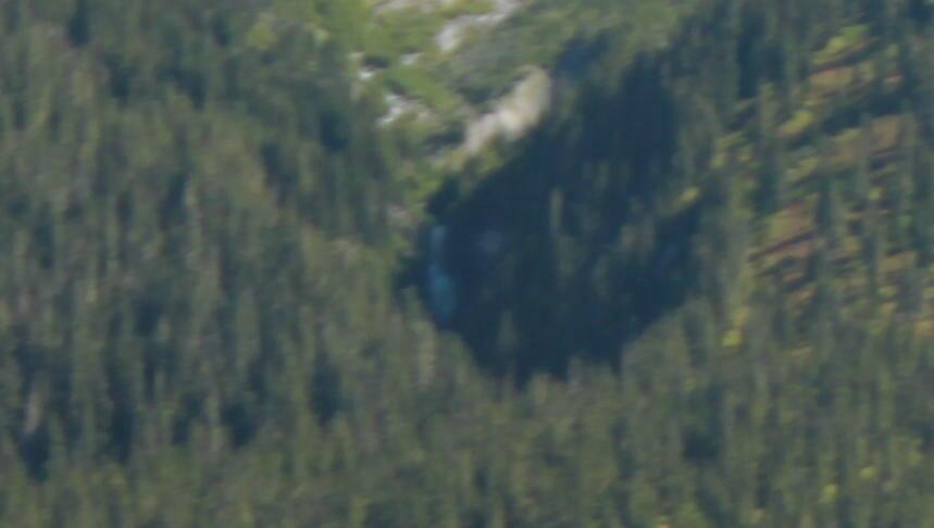
waterfalls on the entire mountain.The waterfall can also be seen distantly from the Cougar Divide Trail at the end of Wells Creek Road. Hike along the trail for about a mile and look towards Table Mountain. You kind of have to know where to look, but you can get a clear (albeit very distant) view of the waterfall. Afternoon light and a long telephoto and you might even be able to get a vaguely decent picture of it. |
| DIRECTIONS -
Follow the directions to Sholes Glacier
Falls. The waterfall is located about a mile downstream from here.
The trip down is difficult enough, but when you get there you won't get to
see the waterfall so don't bother unless you have repelling gear. NEARBY WATERFALLS - Bar Divide Falls, Sholes Glacier Falls, Upper Bar Divide Falls |
|
ADDITIONAL PICTURES (CLICK TO ENLARGE) AND
VIDEO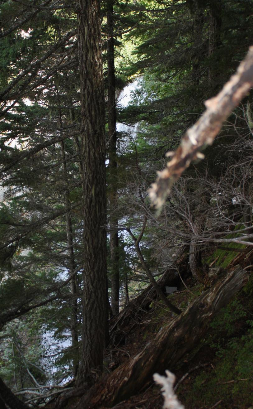
|
|
HOME WHATCOM COUNTY LINKS BEST IN THE NW WATERFALLS FOR KIDS FLICKR FACEBOOK STORE |
|