

FURLAND FALLS |
|
|
RATING - 38.0
VR - 4 (Med/Sm) HR - 7.0 SR - 10/20 TYPE OF APPROACH - Bushwhack DIFFICULTY - Extremely Difficult LOCATION - Darrington area TYPE - Tiered HEIGHT - 295' WIDTH - 40' GPS - N48 14.574 W121 42.403 ELEVATION - 1439' |
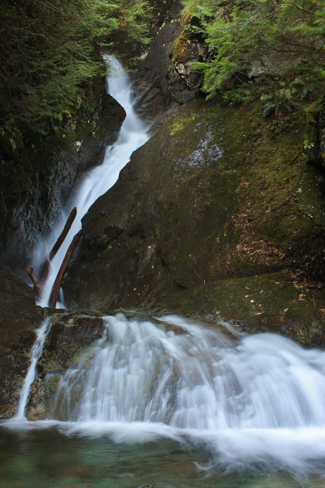 Furland
Falls is, thus far, the most impressive waterfall in the Darrington area.
The falls are located in a very deep, rugged canyon on the north side of
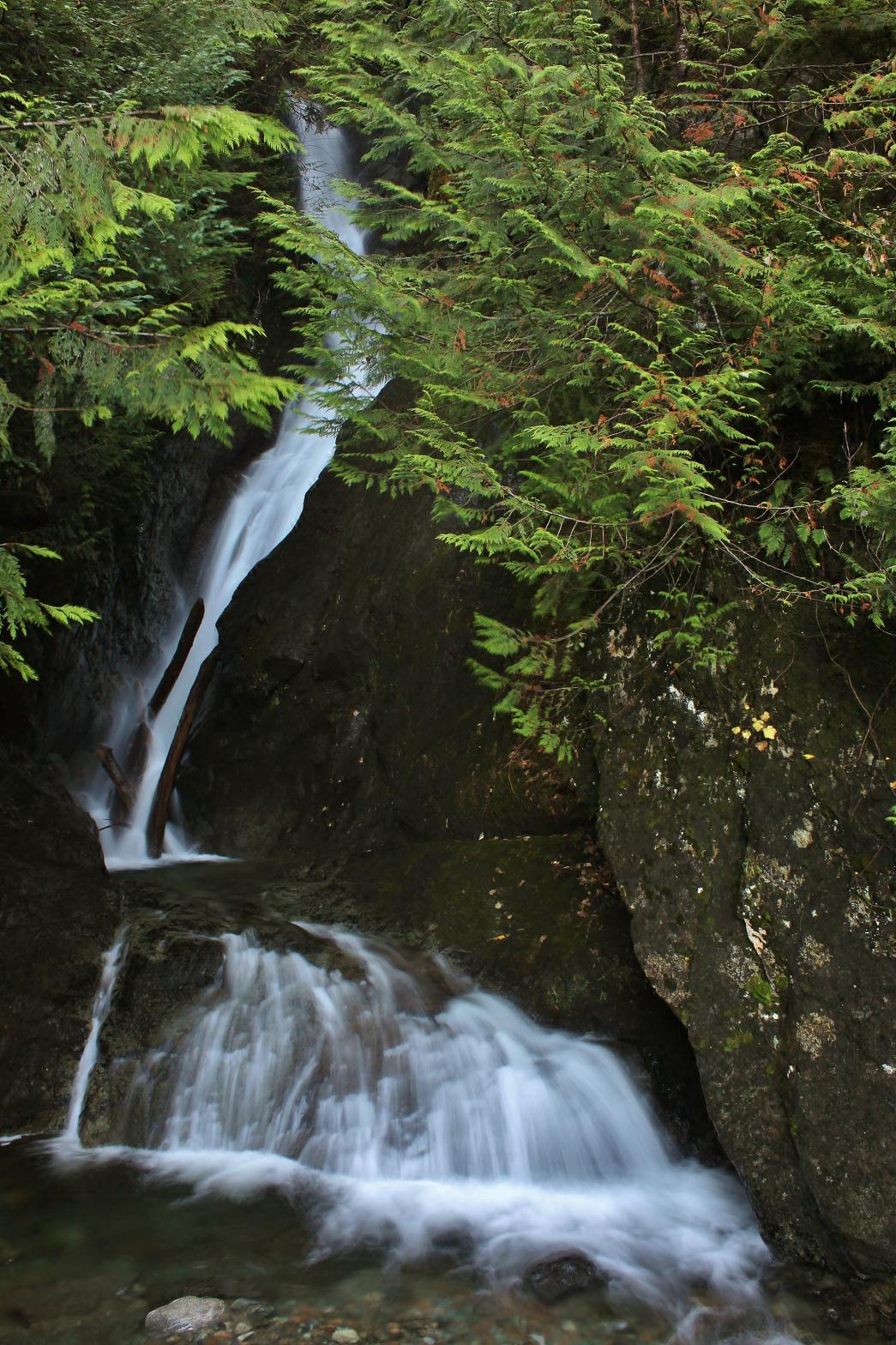
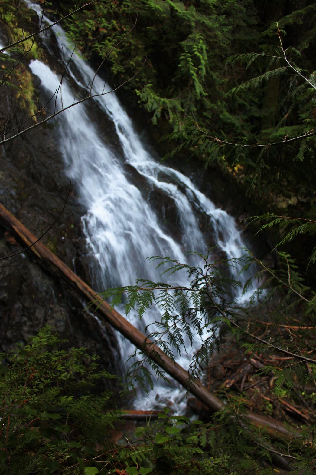
Whitehorse Mountain. They begin with 125' worth of cascades that
include a cool roostertail and a steep, 50' tall fan shaped drop at the
bottom. Below this, the creek turns a corner and horsetails 50',
taking a sharp right hand turn at the bottom. The creek then drops
over its most impressive tier, falling 70' in a deeply incised cliff and
into a pool. The falls then tumble 5' out of the pool where the creek
splits into three around two very large boulders. The fourth tier is a
45' tall segmented cascade through and around these boulders and the falls
finally finished with an 8' sliding drop into another pretty pool. Furland
Falls is, thus far, the most impressive waterfall in the Darrington area.
The falls are located in a very deep, rugged canyon on the north side of
Whitehorse Mountain. They begin with 125' worth of cascades that
include a cool roostertail and a steep, 50' tall fan shaped drop at the
bottom. Below this, the creek turns a corner and horsetails 50',
taking a sharp right hand turn at the bottom. The creek then drops
over its most impressive tier, falling 70' in a deeply incised cliff and
into a pool. The falls then tumble 5' out of the pool where the creek
splits into three around two very large boulders. The fourth tier is a
45' tall segmented cascade through and around these boulders and the falls
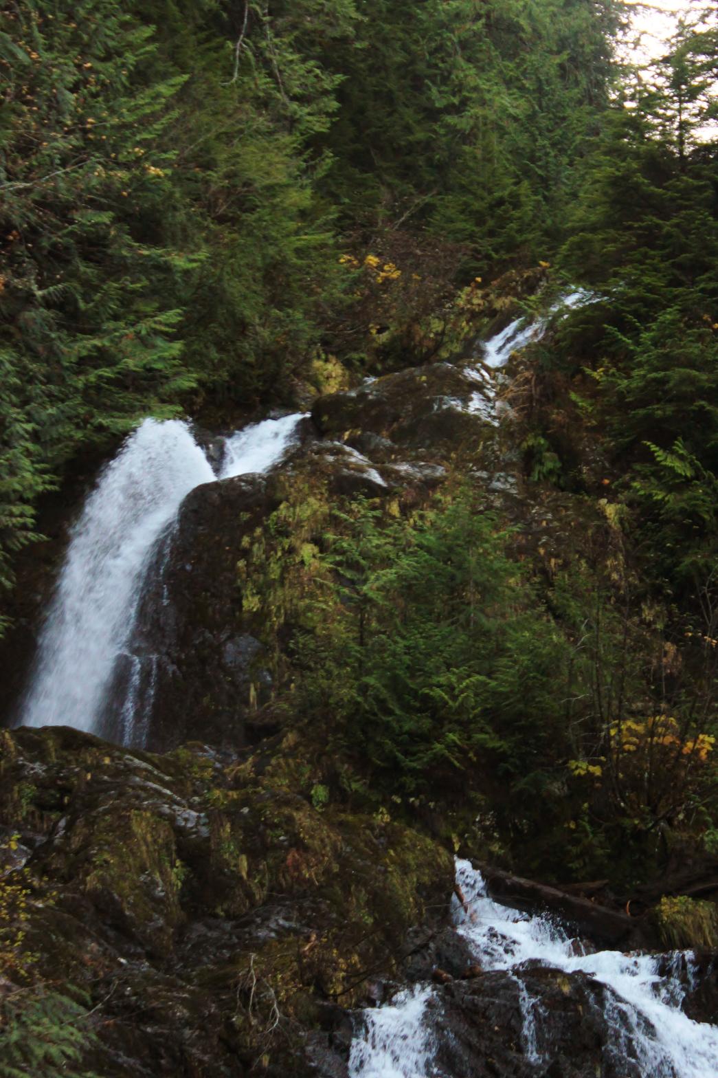
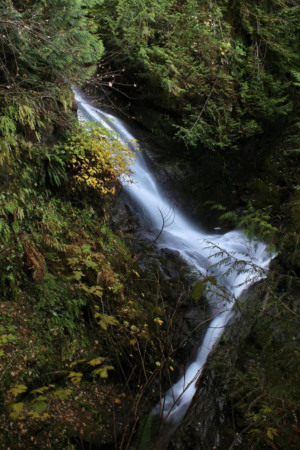
finally finished with an 8' sliding drop into another pretty pool. None of the tiers can be seen in conjunction with each other, which is disappointing, but the overall falls is still extremely impressive. Getting to the falls is difficult enough in itself and getting views of many of the tiers is extremely tough. To see into the narrow chasm in which the third tier drops, you must scramble down a near vertical hillside onto the boulder in front of the falls. Getting views of the tiers above that involves scrambling up a 45-60 degree slope alongside the creek. The slope is soft dirt with plenty of ferns to hang onto, so it's relatively safe (as far as 200' tall 60 degree slopes go), but it's very difficult. |
|
DIRECTIONS - Scramble up the left side of the creek past
Middle Furland
Falls. About 500' upstream you will encounter the upper falls. You'll
have to do some very steep, very difficult scrambling up the side to get to
the upper tiers of the falls. NEARBY WATERFALLS - Lower Furland Falls, Middle Furland Falls, Snow Gulch Falls |
|
ADDITIONAL PICTURES (CLICK TO ENLARGE)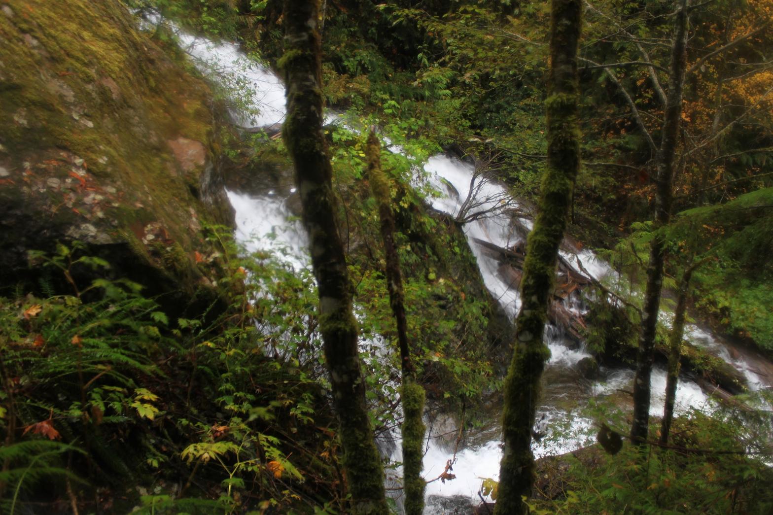

 |
|
HOME SNOHOMISH COUNTY LINKS BEST IN THE NW WATERFALLS FOR KIDS FLICKR FACEBOOK STORE |
|