![]()
LIGHTNING FALLS |
|
|
RATING -
38.0
VR - 4 (Med) HR - 6.0 SR - 14/20 TYPE OF APPROACH - "Trail" + Bushwhack DIFFICULTY - Very Difficult LOCATION - Middle Fork Nooksack Road TYPE - Tiered HEIGHT - 129' WIDTH - 5' GPS - N48 44.240 W121 54.119 ELEVATION - 4999' |
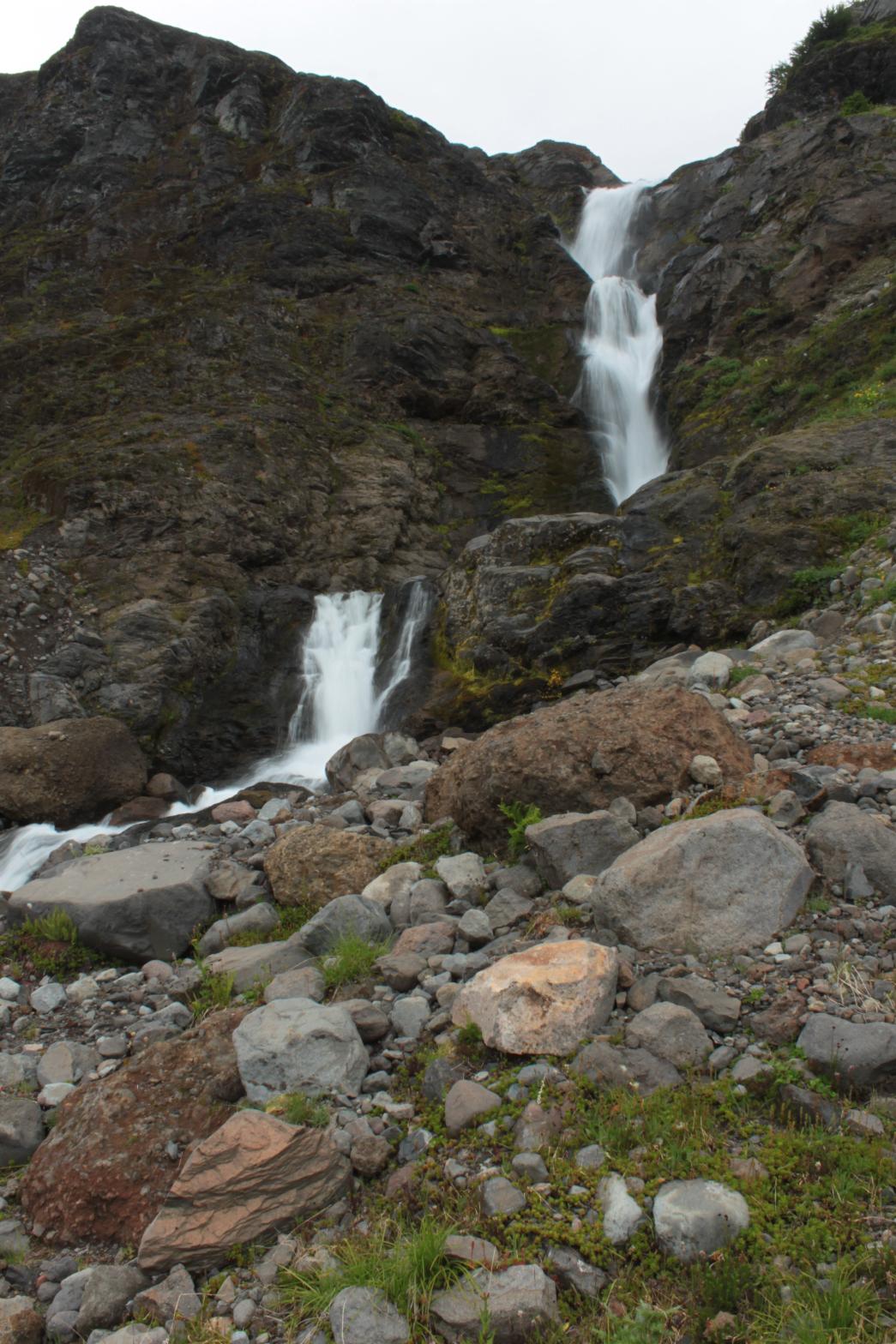 There
are two major waterfalls in the upper Wallace Creek Valley. The first
is located on the main branch of Wallace Creek and has been dubbed Thunder
Falls because it drains the Thunder Glacier. I have given the second
waterfall the name Lightning Falls to go along with the Thunder. The
waterfall drops a total of 129' beginning with some cascades that cannot be
seen from the bottom. The main portion of the falls stand 80' tall,
and the waterfall finishes with a 12' lower tier. To the right of the
main waterfall is its little brother which drops over the same cliff along a
smaller stream. The second waterfall adds a lot to the scene.
The area around this waterfall, and in fact the entire valley, is home to a
number of extremely large boulders that have made their way down the slopes
from the mountains above. Just downstream from the falls is one such
boulder; this one has been split in two right down the middle. While
Lightning Falls itself might not be worth the trouble climbing down from the
meadows, it combined with Thunder Falls is certainly a worthy destination. There
are two major waterfalls in the upper Wallace Creek Valley. The first
is located on the main branch of Wallace Creek and has been dubbed Thunder
Falls because it drains the Thunder Glacier. I have given the second
waterfall the name Lightning Falls to go along with the Thunder. The
waterfall drops a total of 129' beginning with some cascades that cannot be
seen from the bottom. The main portion of the falls stand 80' tall,
and the waterfall finishes with a 12' lower tier. To the right of the
main waterfall is its little brother which drops over the same cliff along a
smaller stream. The second waterfall adds a lot to the scene.
The area around this waterfall, and in fact the entire valley, is home to a
number of extremely large boulders that have made their way down the slopes
from the mountains above. Just downstream from the falls is one such
boulder; this one has been split in two right down the middle. While
Lightning Falls itself might not be worth the trouble climbing down from the
meadows, it combined with Thunder Falls is certainly a worthy destination. |
|
DIRECTIONS - Follow the directions to
Upper Lightning Falls. Follow the stream down along its south side
for several hundred feet until you see the top of the falls. Continue
climbing down further away from the creek and then cut over to the base of
the waterfall once you get below the cliff. NEARBY WATERFALLS - Lower Thunder Falls, Thunder Falls, Upper Lightning Falls |
|
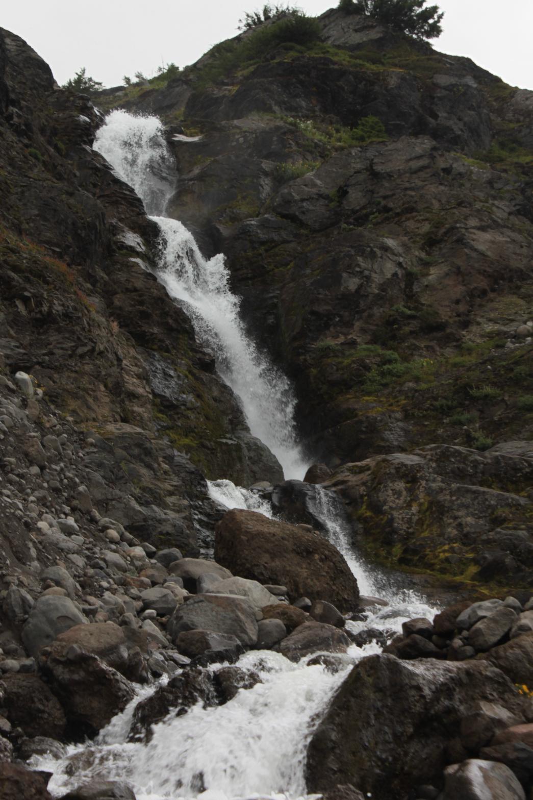
ADDITIONAL PICTURES AND VIDEO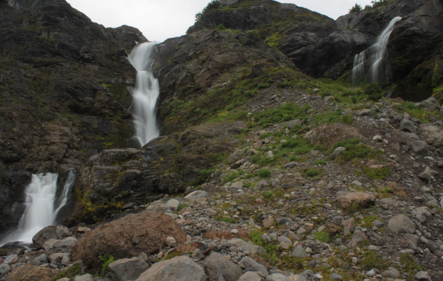
 |
|
HOME WHATCOM COUNTY LINKS BEST IN THE NW WATERFALLS FOR KIDS FLICKR FACEBOOK STORE |
|