
NOOCHSAKATSU FALLS |
|
|
RATING - 32.0
VR - 4 (Sm/Med) HR - 4.0 SR - 16/20 TYPE OF APPROACH - Trail + Bushwhack DIFFICULTY - Difficult LOCATION - Wells Creek Area TYPE - Segmented HEIGHT - 72' WIDTH - 150' GPS - N48 50.570' W121 43.440' ELEVATION - 4345' |
 Wells
Creek is created when four tributary creeks combine just above massive
Mazama Falls. Each of these four creeks contains at least one
waterfall. The creek that contains Noochsakatsu Falls drains the area immediately
around and below the Ptarmigan Ridge Trail once it crosses over into the
Wells Creek Drainage. By the time the creek reaches the waterfall, its
volume is surprisingly large considering the small drainage area. Wells
Creek is created when four tributary creeks combine just above massive
Mazama Falls. Each of these four creeks contains at least one
waterfall. The creek that contains Noochsakatsu Falls drains the area immediately
around and below the Ptarmigan Ridge Trail once it crosses over into the
Wells Creek Drainage. By the time the creek reaches the waterfall, its
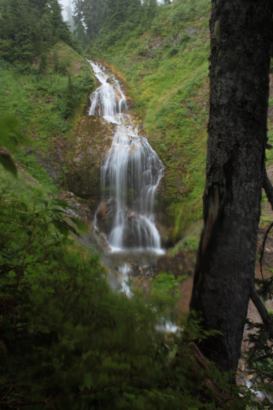
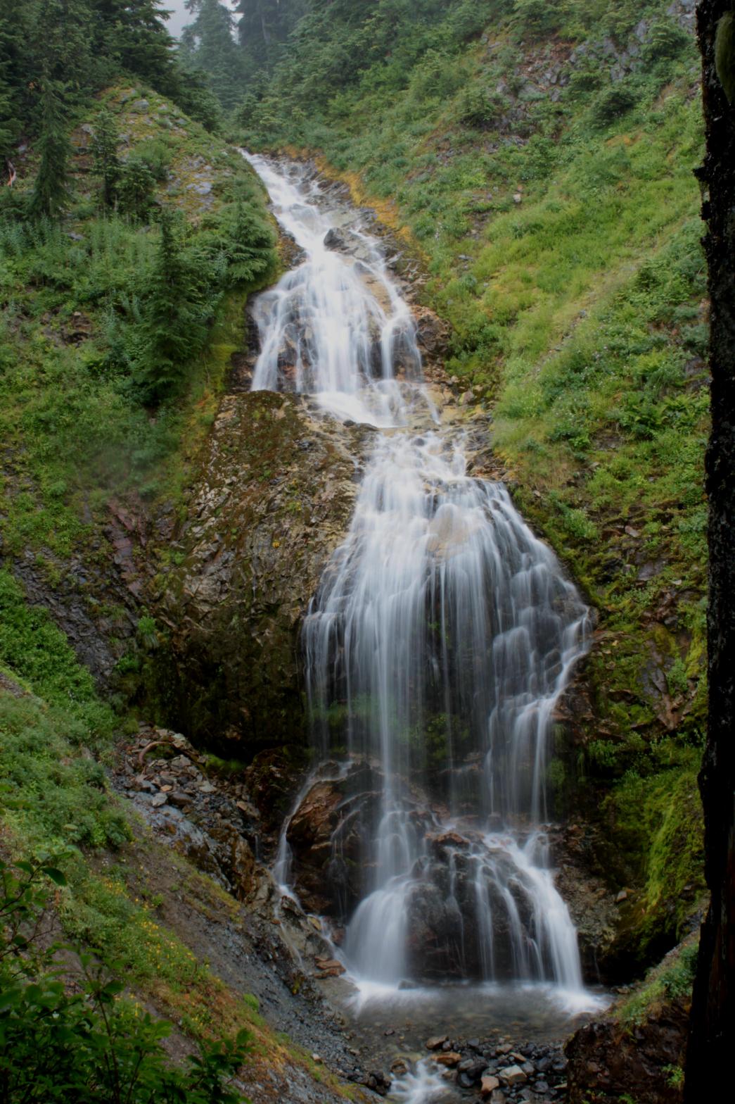
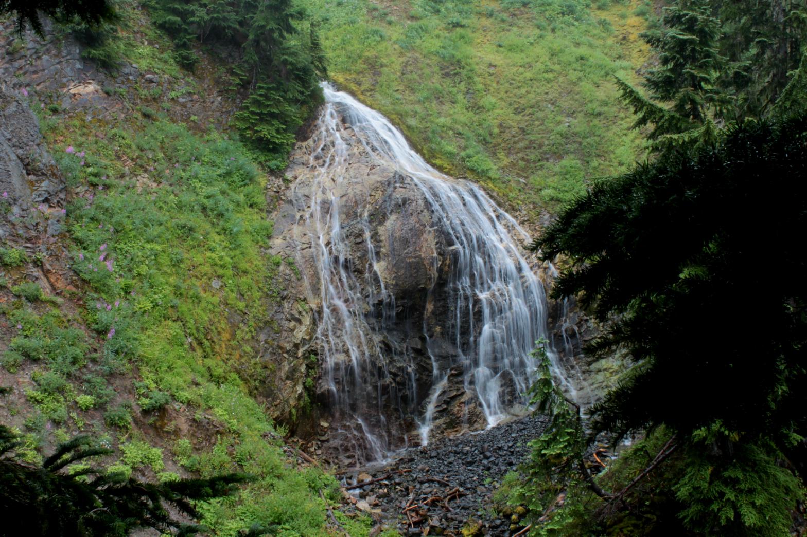
volume is surprisingly large considering the small drainage area.Noochsakatsu Falls is really two side-by-side waterfalls. The left segment is the larger volume of the two and drops a total of 72', beginning with some sliding cascades and ending with a nearly vertical 45' curtain finale. The right segment is a gorgeous 50' tall fan-shaped waterfall, followed by a 20' tall lower tier. Noochsakatsu is the Nooksack Indian name for Wells Creek. |
|
DIRECTIONS - From Artists Point at the end of the Mt. Baker Highway, begin
hiking along the Ptarmigan Ridge Trail. In about a mile and a half, the
hillside to the right will become less steep. Leave the trail and
scramble down the hill side and towards the right. Eventually you will
run into the creek. Follow it downstream (staying on the east side if
possible) to the falls. NEARBY WATERFALLS - Alix Falls, Lower Mazama Lake Falls, Lower Noochsakatsu Falls, Mazama Falls, Mazama Lake Falls, Pinnacle Falls, Pyroclast Falls, Upper Pinnacle Falls |
|
ADDITIONAL
PICTURES (CLICK TO ENLARGE) AND VIDEO
 Noochsakatsu Falls |
|
HOME WHATCOM COUNTY LINKS BEST IN THE NW WATERFALLS FOR KIDS FLICKR FACEBOOK STORE |
|