![]()
RAINBOW FALLS |
|
|
RATING -
58.0
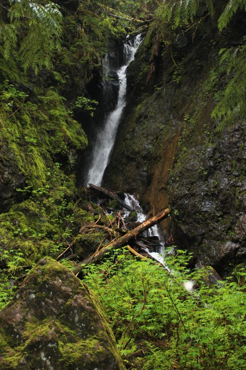
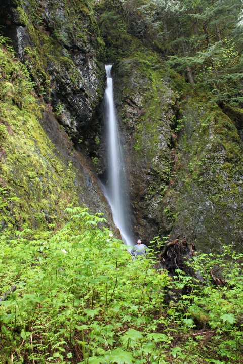
VR - 8.0 (Big) HR - 6.0 SR - 10/20 TYPE OF APPROACH - Roadside DIFFICULTY - Very Easy LOCATION - Baker Lake Area TYPE - Tiered HEIGHT - 170' WIDTH - 25' GPS - N48 46.216 W121 40.528 ELEVATION - 1622' |
|
| DIRECTIONS - Follow
the directions to Lower Morowitz Falls.
Continue driving up the road, taking the left at the fork in the road. A short
distance later you will come to a switchback with the falls off to the right.
Slightly better views can be had by climbing down the steep hill to the edge of the canyon
but be careful. The drop is steep and deadly and probably not worth
the trouble. NEARBY WATERFALLS - Blueberry Falls, Boulder Camp Falls, Lava Divide Falls, Lower Morowitz Falls, Park Glacier Falls, Upper Morowitz Falls, Snawes Falls, Upper Rainbow Falls |
|
ADDITIONAL PICTURES (CLICK TO ENLARGE)

|
HOME WHATCOM COUNTY LINKS BEST IN THE NW WATERFALLS FOR KIDS FLICKR FACEBOOK STORE |
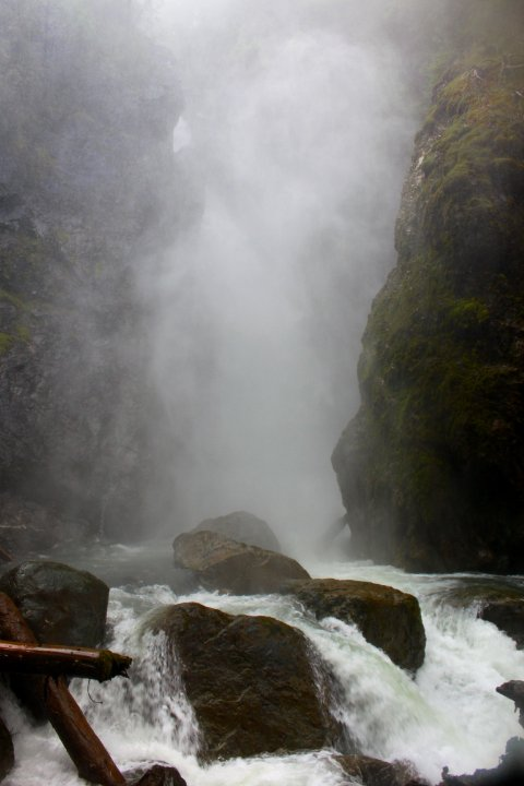
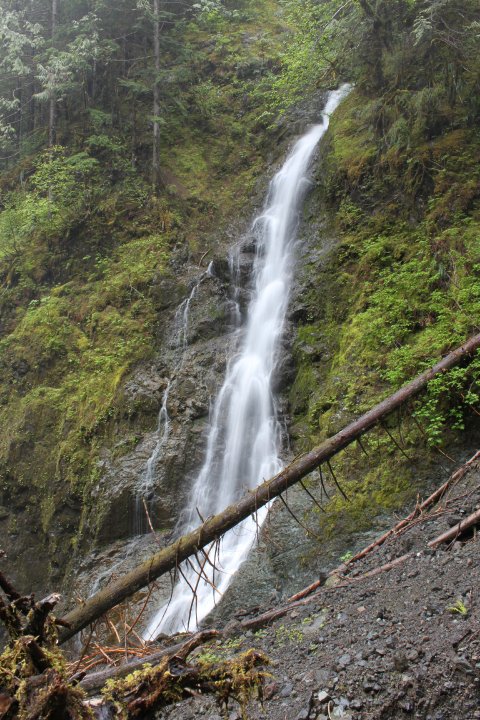
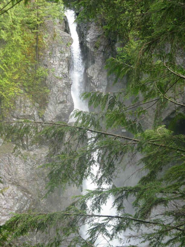
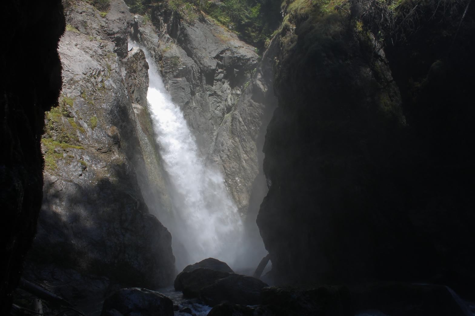
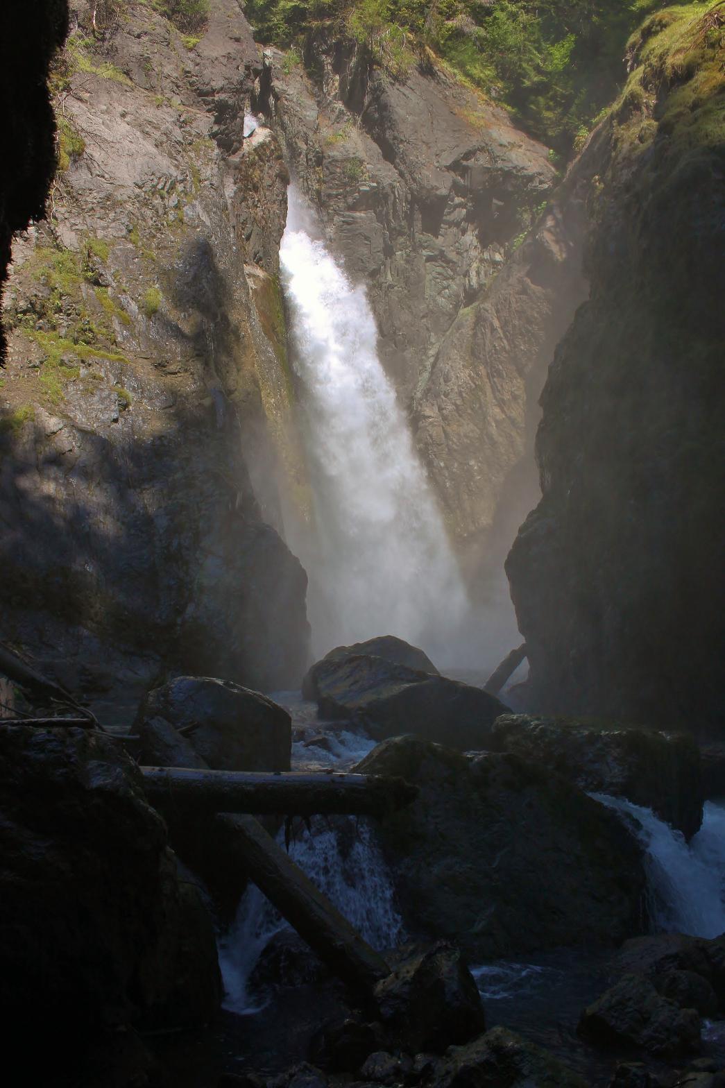 Rainbow
Creek drops off the edge of the cliff face and falls for about 100' before
hitting the cliff and spreading out in a huge spray of water and falling
another 70'. The views of the falls are annoying because there are always a
few branches in the way.
Rainbow
Creek drops off the edge of the cliff face and falls for about 100' before
hitting the cliff and spreading out in a huge spray of water and falling
another 70'. The views of the falls are annoying because there are always a
few branches in the way.