![]()
UPPER SWAYEL FALLS |
|
|
RATING -
13.6
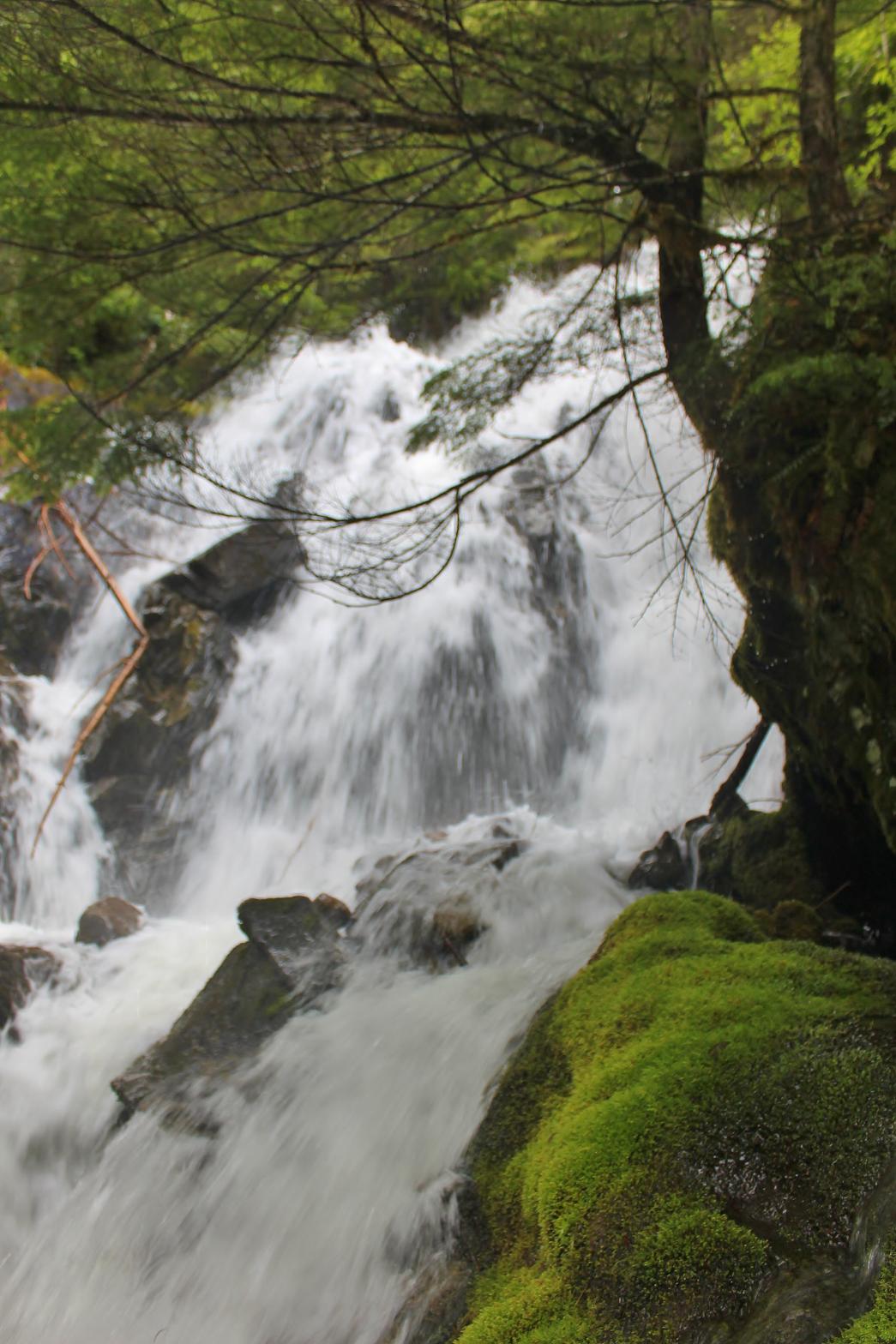
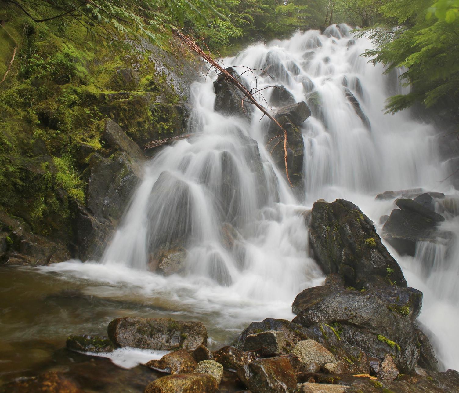
VR - 3.6 (Med/Sm) HR - 1.0 SR - 10/20 TYPE OF APPROACH - Bushwhack DIFFICULTY - Fairly Easy LOCATION - Newhalem Area TYPE - Cascades HEIGHT - 24' * WIDTH - 15' GPS - N48 38.727 W121 20.267 ELEVATION - 2356'
|
|
|
DIRECTIONS - Drive east along Highway 20 and turn left onto Thornton Creek
Road about 3 miles before reaching Newhalem. About 1/2 a mile before the
trailhead you will cross over Sky Creek and a small waterfall on the left.
Park at a pullout just past the creek and walk back down the road a few
hundred feet. Hop into the woods and scramble over to the creek. NEARBY WATERFALLS - Big Devil Falls, Cross Valley Falls, Granite Gorge Falls, Ladder Creek Falls, Newhalem Falls, Swayel Falls, Thornton Peak Falls |
|
ADDITIONAL PICTURES (CLICK TO ENLARGE) AND
VIDEO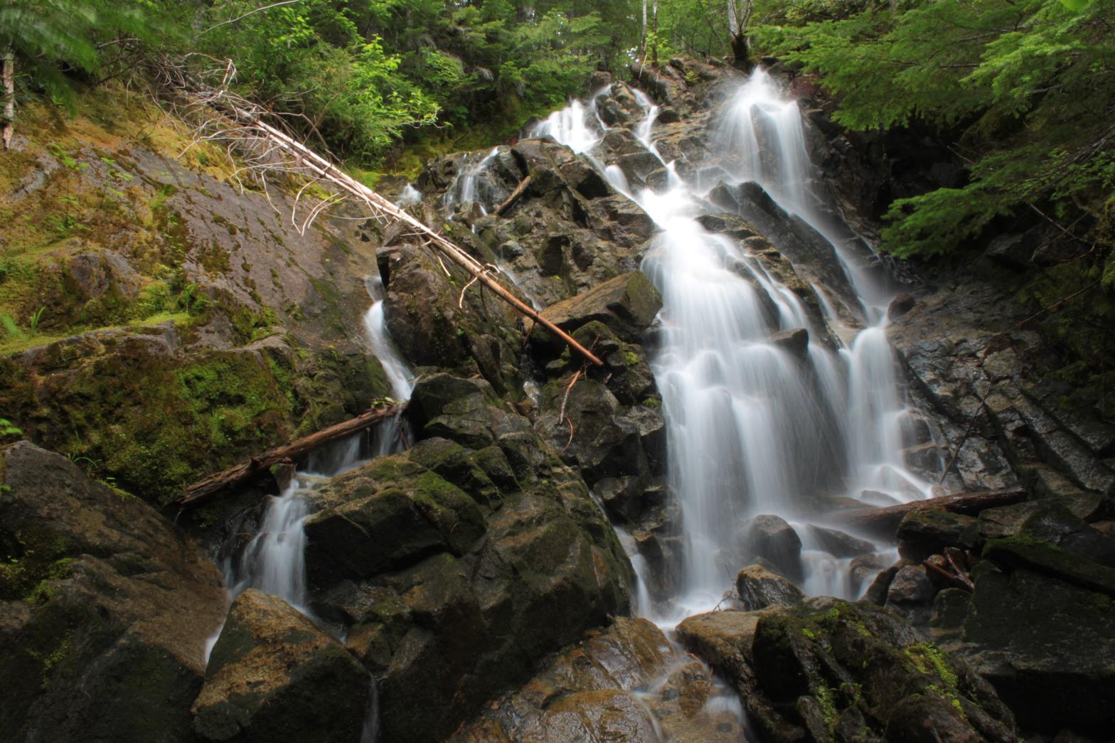
 |
|
HOME WHATCOM COUNTY LINKS BEST IN THE NW WATERFALLS FOR KIDS FLICKR FACEBOOK STORE |
|