![]()
BOULDER GLACIER FALLS |
|
|
RATING - 42.0
VR - 4.0 (M/S) HR - 7 SR - 14/20 TYPE OF APPROACH - Trail DIFFICULTY - Difficult LOCATION - Baker Lake Road TYPE - Tiered HEIGHT - 370' WIDTH - 80' GPS - N48 45.429' W121 45.776' ELEVATION - 4150'
|
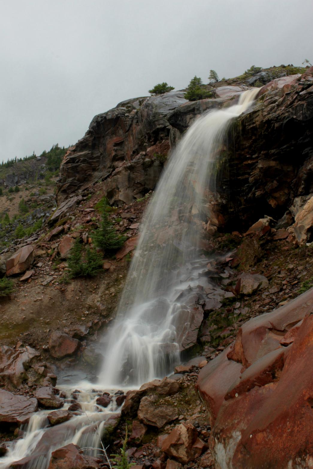
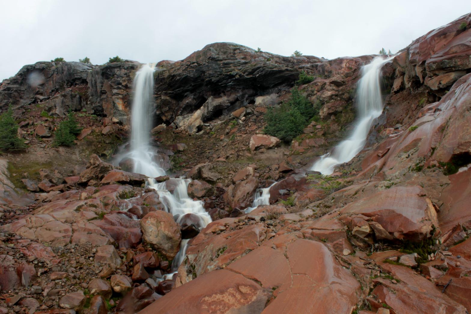
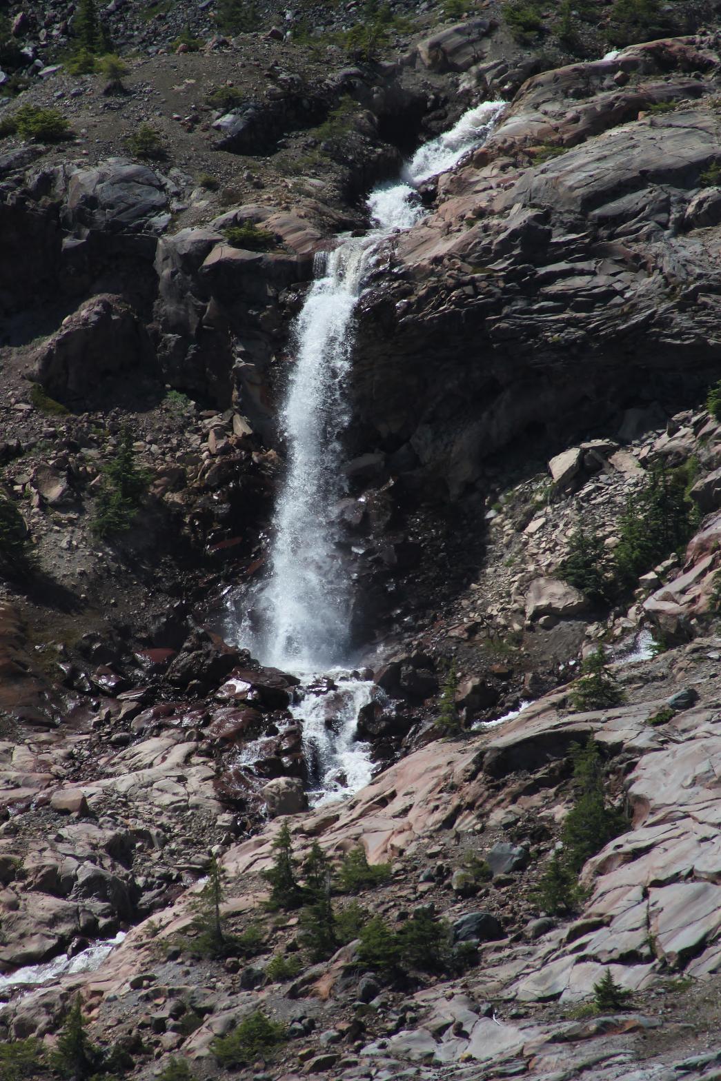
Boulder Glacier Falls is one of the many waterfalls at the headwaters of Boulder Creek that can be viewed from the end of the Boulder Ridge Trail. Boulder Glacier Falls begins with a pair of 45' tall plunging drops. Only the left of these two plunges can be seen from the trail. The creek then cascades for 143' vertically before encountering another ledge and horsetailing for 182' in side-by-side drops. The entire waterfall totals 370' in height. Unfortunately for Boulder Glacier Falls, this nearly 400' tall drop is only good enough to be the third tallest in the immediate area. The waterfall is prominent enough that it can be viewed from the road up to Anderson/Watson Lakes Trailhead about six miles away.
|
|
DIRECTIONS - Drive out Baker Lake Road to the Boulder Creek Bridge (tough to
miss) and take an immediate left onto FR 1130. In about 1.5 miles, take the
left hand fork at the Y. Follow this road to its end at the Boulder Ridge
Trail. The trail travels peacefully through the woods for about 2 miles.
It then reaches a meadowy area and shortly after runs into a small, seasonal
waterfall. The trail then climbs steeply up the rocks and spends the next
1/2 a mile climbing very steeply. Eventually the trail breaks out of the
trees and finally ends up on a
small ridge overlooking the barren wasteland of the Boulder Creek
headwaters. NEARBY WATERFALLS - Boulder Glacier Falls, Samantha Falls, Upper Boulder Creek Falls, Upper Boulder Glacier Falls |
|
ADDITIONAL PICTURES (CLICK TO ENLARGE)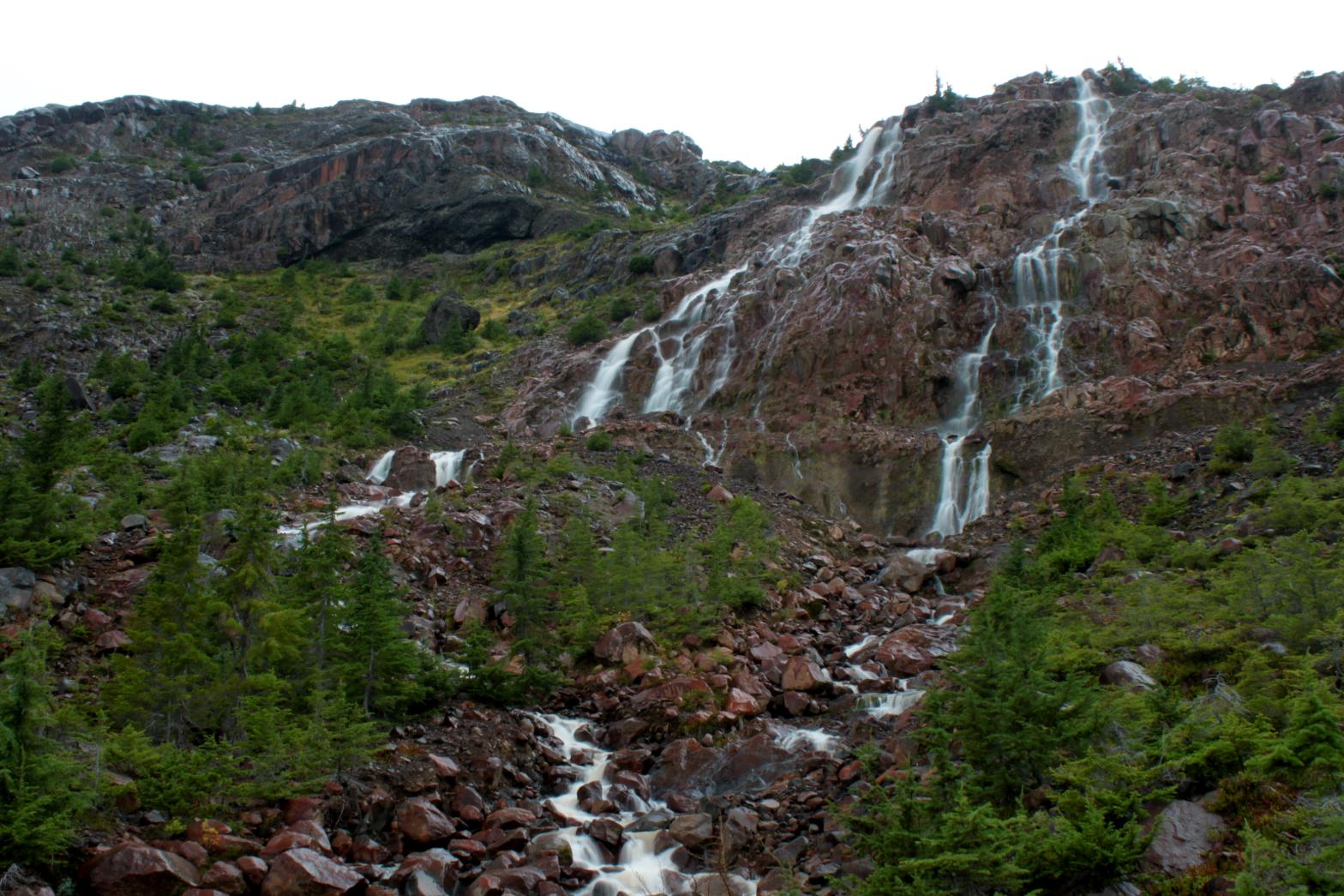
 |
|
| HOME SKAGIT COUNTY LINKS BEST IN THE NW WATERFALLS FOR KIDS FLICKR FACEBOOK STORE | |
 One
of the best hikes in the Mt. Baker area is the Boulder Ridge Trail. The view from
the end of the trail is nothing short of astounding. Mt. Baker looms
massively above an alien landscape of red, volcanic rock, sparse trees, and
waterfalls as far as the eye can see. To get to the end requires some
patience and a lot of work on the part of the hiker. The trail spends
the first two miles traveling through a nice forest with gradual ups and
downs along the way. It's nice, but there are no views to speak of.
After passing through a meadow, the trail beings to climb very steeply and
spends the next mile and a half gaining the top of the moraine left over by
the retreating Boulder Glacier. It's worth all the trouble once you
arrive at the end, but it's definitely a little more work than some of the
more popular trails in the area.
One
of the best hikes in the Mt. Baker area is the Boulder Ridge Trail. The view from
the end of the trail is nothing short of astounding. Mt. Baker looms
massively above an alien landscape of red, volcanic rock, sparse trees, and
waterfalls as far as the eye can see. To get to the end requires some
patience and a lot of work on the part of the hiker. The trail spends
the first two miles traveling through a nice forest with gradual ups and
downs along the way. It's nice, but there are no views to speak of.
After passing through a meadow, the trail beings to climb very steeply and
spends the next mile and a half gaining the top of the moraine left over by
the retreating Boulder Glacier. It's worth all the trouble once you
arrive at the end, but it's definitely a little more work than some of the
more popular trails in the area.