![]()
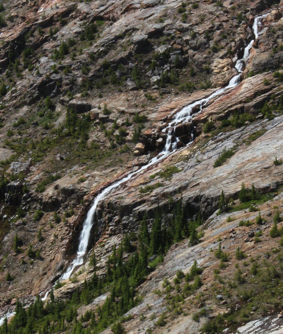
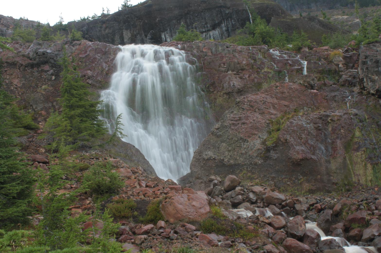
SAMANTHA FALLS |
|
|
RATING -
28.0
VR - 2.0 (Small) HR - 8.0 SR - 12/20 TYPE OF APPROACH - Trail DIFFICULTY - Difficult LOCATION - Baker Lake Road TYPE - Tiered HEIGHT - 431' WIDTH - 15' GPS - N48 45.502' W121 45.712' ELEVATION - 3980'
|
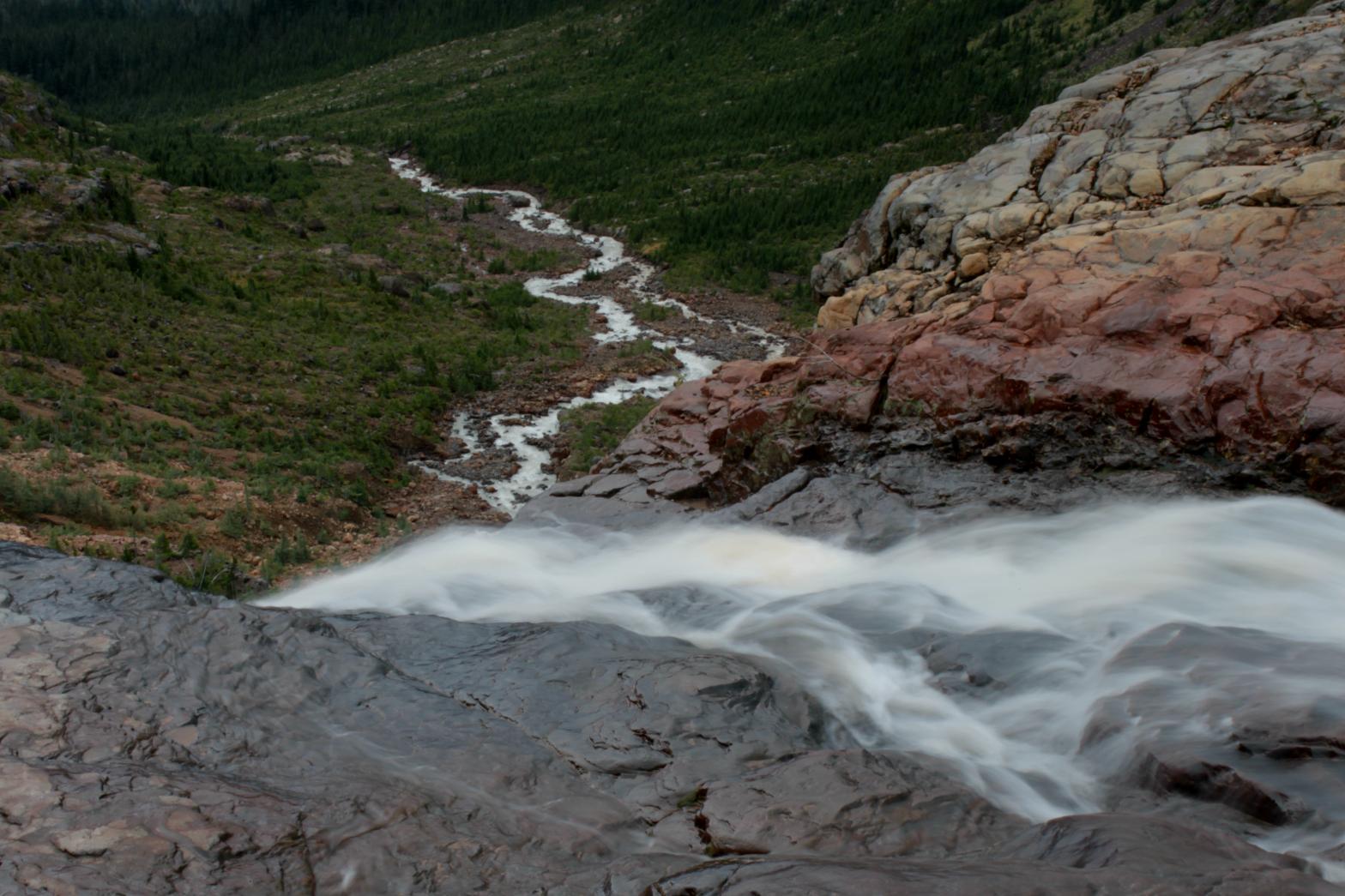
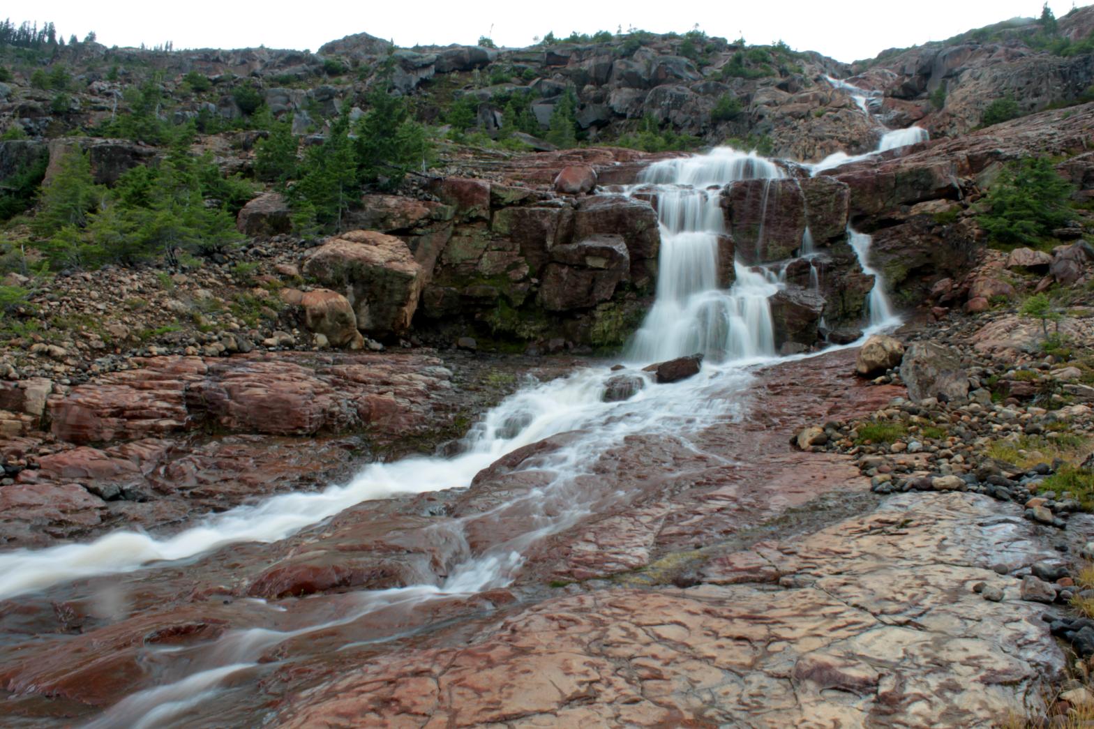
Samantha Falls is the middle of the three major waterfalls that drop from streams originating in the Boulder Glacier. The waterfall begins with a long series of slides and cascades totaling 245' in height. The creek then encounters a more vertical cliff band and plunges 60'. This is immediately followed by 78' worth of cascades. The waterfall finishes with a beautiful 48' tall fan shaped drop. This drop is located only a couple dozen feet from the bottom tier of nearly Upper Boulder Creek Falls, making for a really cool scene. Most of the waterfall can be seen from the trail but to get close you'll have to scramble off-trail, including a trecherous fording of Boulder Creek itself at some point. In the tradition of naming waterfalls after females, I have named this one for my daughter Samantha.
|
|
DIRECTIONS - Drive out Baker Lake Road to the Boulder Creek Bridge (tough to
miss) and take an immediate left onto FR 1130. In about 1.5 miles,
take the left hand fork at the Y. Follow this road to its end at the
Boulder Ridge Trail. The trail travels peacefully through the woods
for about 2 miles. It then reaches a meadowy area and shortly after
runs into a small, seasonal waterfall. The trail then climbs steeply
up the rocks and spends the next 1/2 a mile climbing very steeply.
Finally the trail breaks out of the trees and eventually ends up on a
small ridge overlooking the barren wasteland of the Boulder Creek
headwaters. NEARBY WATERFALLS - Boulder Creek Falls, Boulder Glacier Falls, Upper Boulder Creek Falls, Upper Boulder Glacier Falls |
|
ADDITIONAL PICTURES (CLICK TO ENLARGE) AND VIDEO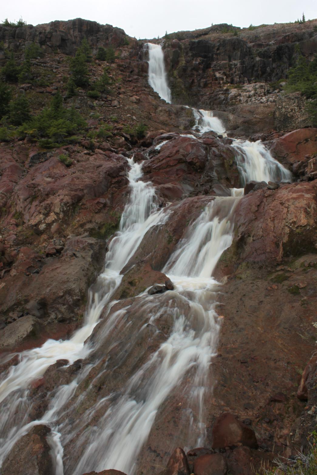
 |
|
| HOME SKAGIT COUNTY LINKS BEST IN THE NW WATERFALLS FOR KIDS FLICKR FACEBOOK STORE | |