![]()
UPPER BOULDER GLACIER FALLS |
|
|
RATING -
14.0
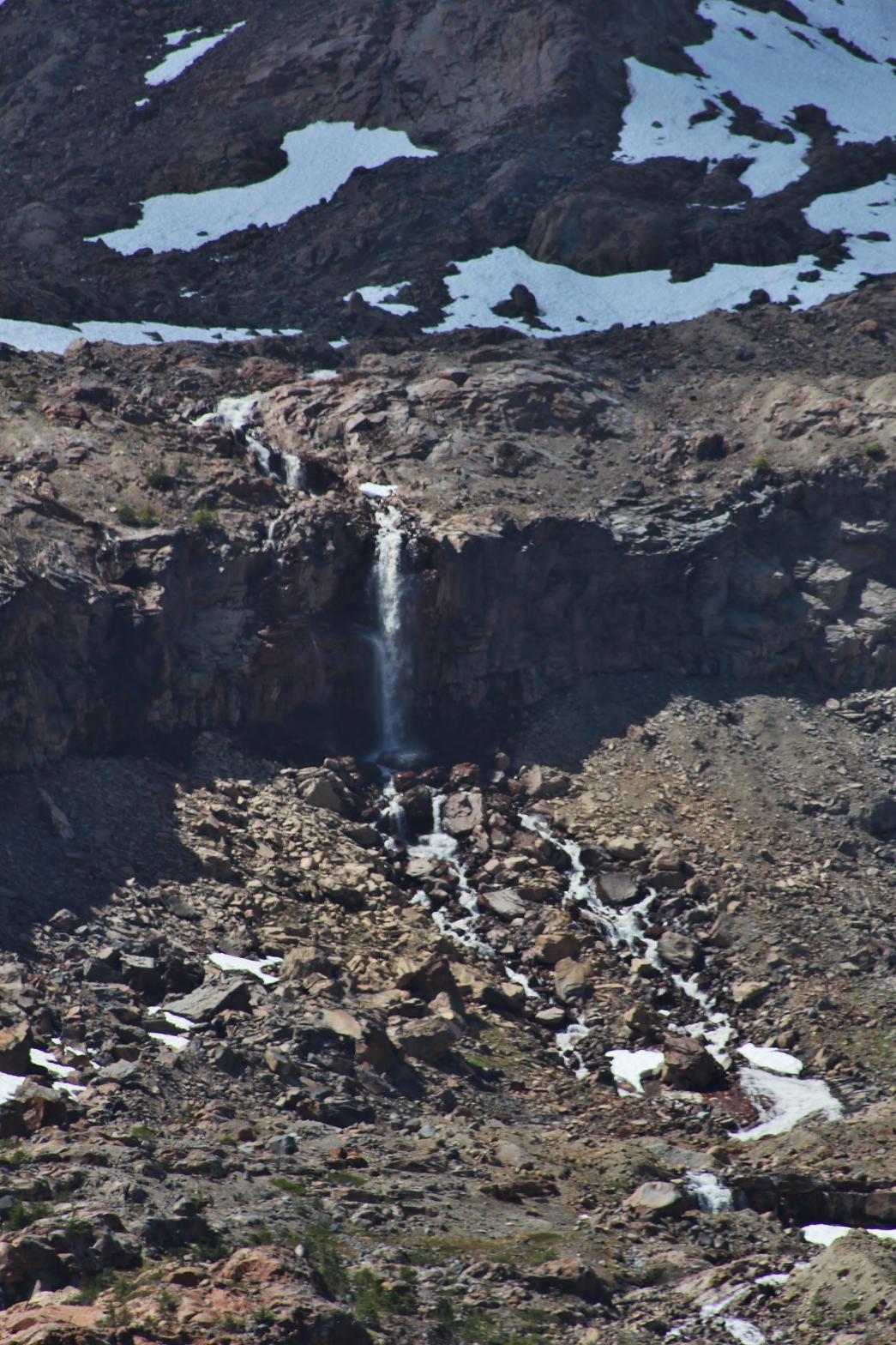
VR - 2.0 (Small) HR - 4.0 SR - 6/20 TYPE OF APPROACH - Trail DIFFICULTY - Difficult LOCATION - Baker Lake Road TYPE - Plunge HEIGHT - 58' WIDTH - 5' GPS - N48 45.653 W121 46.321 ELEVATION - 5050'
|
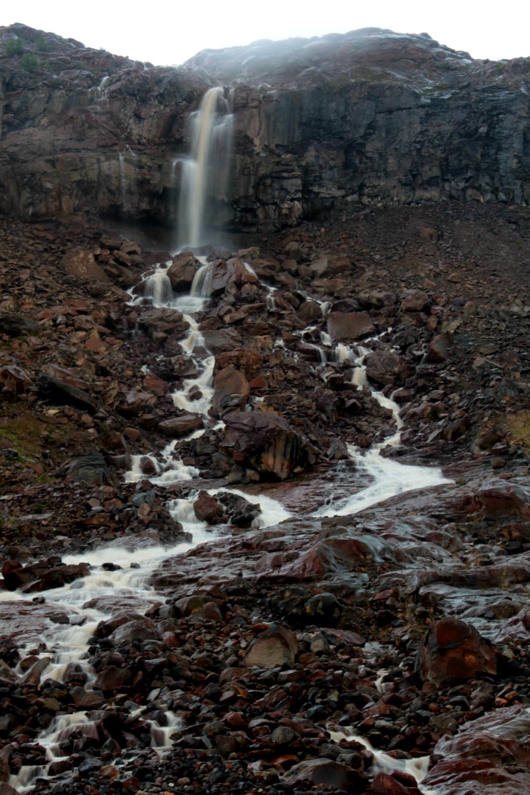
This is one of the many waterfall at the headwaters of Boulder Creek that can be viewed from the end of the Boulder Ridge Trail. Upper Boulder Glacier Falls occurs where one of the several small streams originating in the Boulder Glacier encounters a vertical cliff and plunges 58' in a vertical drop. This is the most distant of the waterfalls from the end of the trail and also the smallest, but it provides one more waterfall to the already large number in the area. |
|
DIRECTIONS - Follow the
directions to Boulder Glacier Falls.
This waterfall can be seen from the end of the Boulder Ridge Trail. It is
also possible to get right next to the waterfall but this involves fording
Boulder Creek (which is not easy or safe) and then some fairly easy
off-trail travel. NEARBY WATERFALLS - Boulder Creek Falls, Boulder Glacier Falls, Samantha Falls, Upper Boulder Creek Falls |
|
ADDITIONAL PICTURES (CLICK TO ENLARGE) AND VIDEO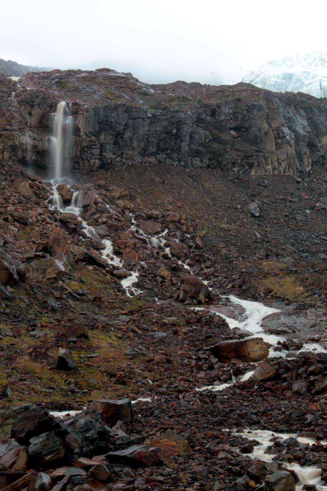
 |
|
| HOME SKAGIT COUNTY LINKS BEST IN THE NW WATERFALLS FOR KIDS FLICKR FACEBOOK STORE | |