![]()
AGATHOT FALLS |
|
|
RATING -
20.0
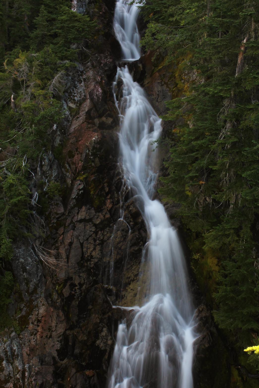
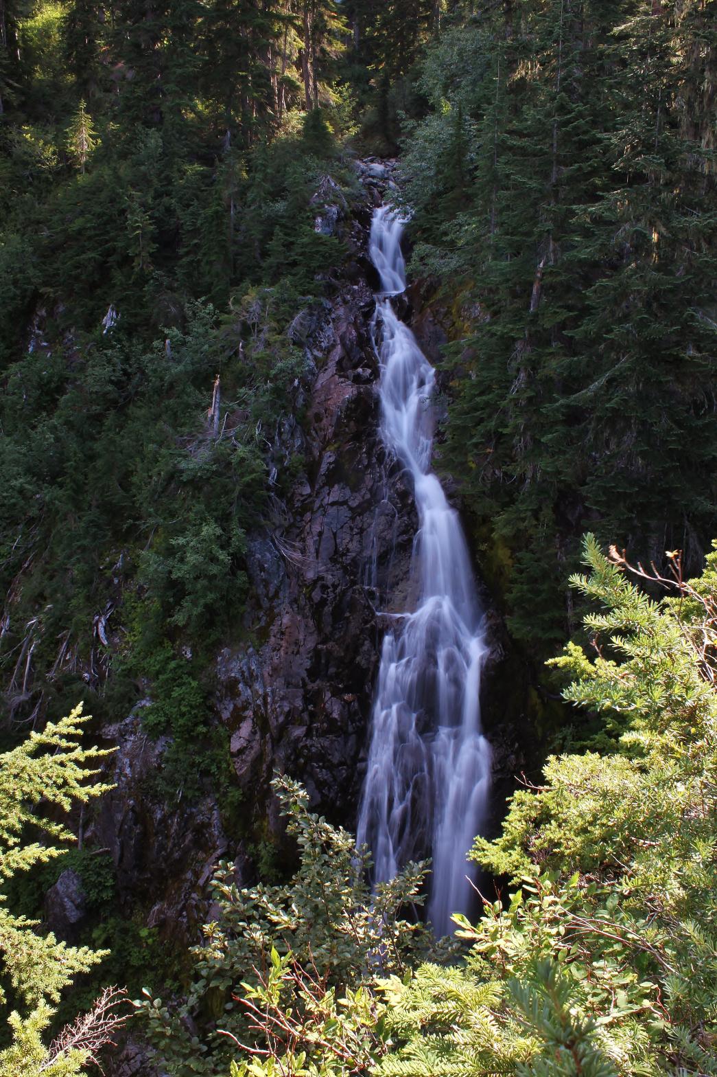
VR - 2 (Small) HR - 5 SR - 10/20 TYPE OF APPROACH - Trail DIFFICULTY - Medium LOCATION - Swift Creek Trail TYPE - Horsetail HEIGHT - 109' * WIDTH - 10' GPS - N48 49' 40.59", W121 40' 0.95" ELEVATION - 3581' |
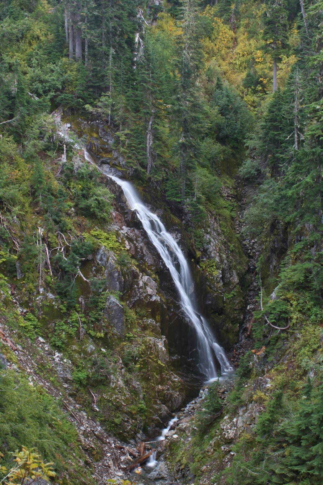 Agathot
Falls is the only one of the waterfalls in the Swift Creek area that can be
viewed clearly and up close with any ease. The trail crosses the stream
just above the falls. As the creek reaches the cliff, it horsetails 109' in a
pretty waterfall, starting out with a shallow slope and ending nearly
vertically. Agathot Creek contains two more downstream a short distance.
These are a little more difficult to view, but the middle one is certainly
worth your trouble if you're in the area. Agathot is a Nooksack word
meaning "swift waters" so I thought the name was fitting for a tributary of
Swift Creek. Agathot Creek is fairly small but maintains its flow for
the entire time the trail is snowfree and probably all year long. Agathot
Falls is the only one of the waterfalls in the Swift Creek area that can be
viewed clearly and up close with any ease. The trail crosses the stream
just above the falls. As the creek reaches the cliff, it horsetails 109' in a
pretty waterfall, starting out with a shallow slope and ending nearly
vertically. Agathot Creek contains two more downstream a short distance.
These are a little more difficult to view, but the middle one is certainly
worth your trouble if you're in the area. Agathot is a Nooksack word
meaning "swift waters" so I thought the name was fitting for a tributary of
Swift Creek. Agathot Creek is fairly small but maintains its flow for
the entire time the trail is snowfree and probably all year long. |
| DIRECTIONS -
Drive to the Lake Anne Trailhead near the end of Mt. Baker Highway.
Head down the trail and take the Swift Creek Trail at about 2.5 miles.
The trail travels through beautiful meadows for about 1 mile until it
crosses this creek (first "major" creek). Backtrack down the trail for
a couple hundred feet until you come to a little grassy area on the west
side of the trail. Scramble through the brush down hill and then cut
over to the edge of the canyon for a nice view of the falls. NEARBY WATERFALLS - Huntoon Falls, Lower Popahomy Falls, Lower Tatasum Falls, Middle Agathot Falls, Popahomy Falls, Ptarmigan Falls, Tatasum Falls, Upper Popahomy Falls |
|
ADDITIONAL
PICTURES (CLICK TO ENLARGE) AND VIDEO 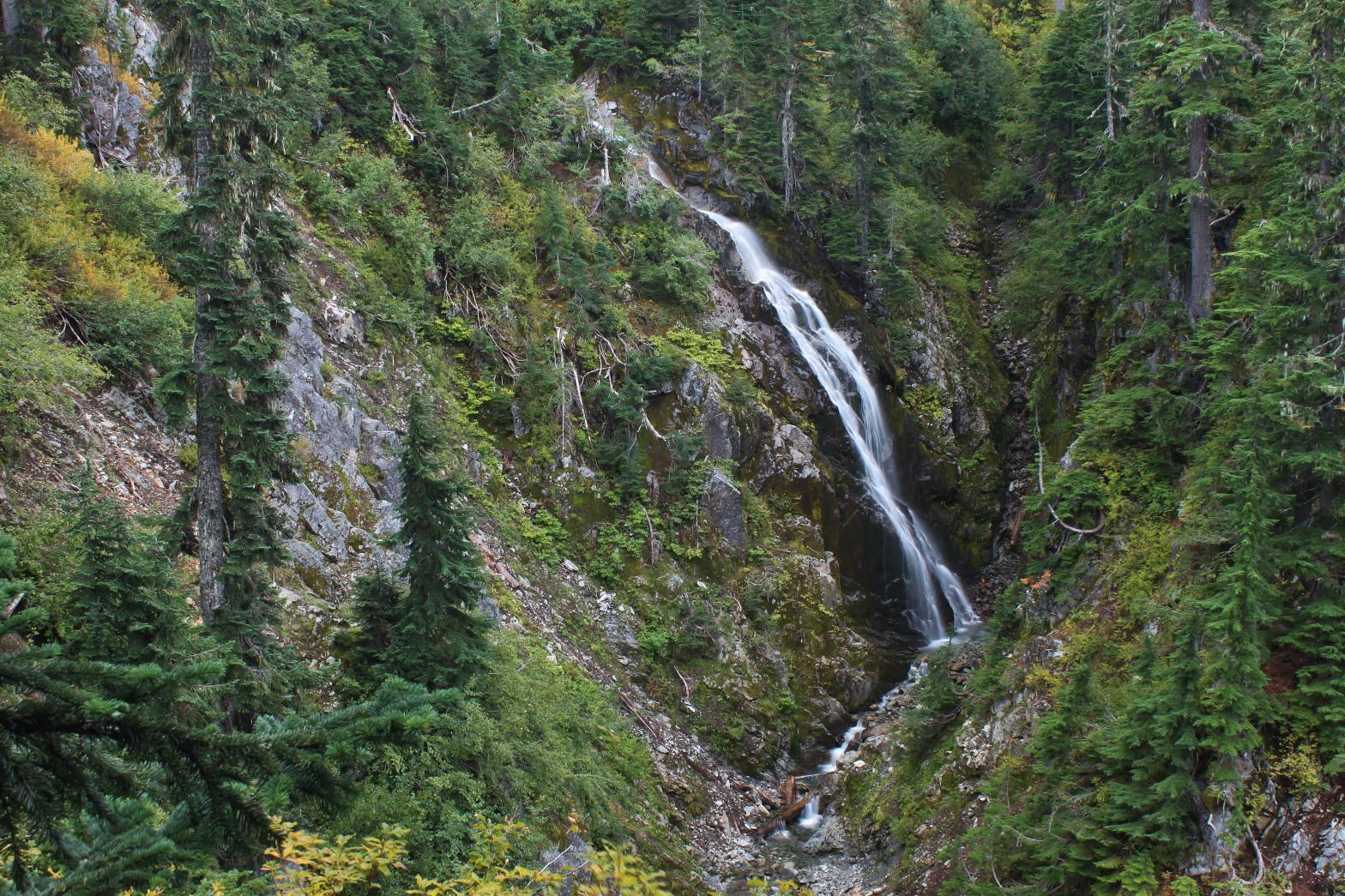
 |
|
HOME WHATCOM COUNTY LINKS BEST IN THE NW WATERFALLS FOR KIDS FLICKR FACEBOOK STORE |
|