![]()
LOWER TATASUM FALLS |
|
|
RATING -
18.8
VR - 1.8 (Small) HR - 6.0 SR - 8/20 TYPE OF APPROACH - Trail + Bushwhack DIFFICULTY - Difficult LOCATION - Swift Creek Trail TYPE - Tiered HEIGHT - 136' * WIDTH - 5' GPS - N48 49' 40.04", W121 40' 48.84" ELEVATION - 3140' |
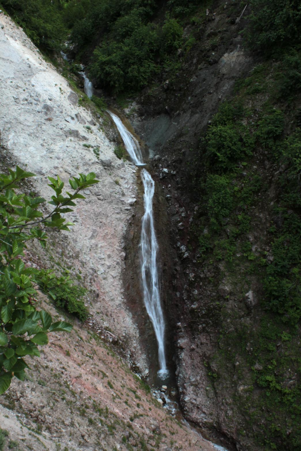 Lower
Tatasum Falls is a plunging waterfall that appears to drop somewhere around
80' in height. The falls are located a short distance downstream from
the Swift Creek Trail and should be accessible by bushwhacking down the west
side of the creek. The falls can also be seen distantly from the
Ptarmigan Ridge Trail, but you have to know where to look. If I can
get a closer view (which I will next summer), I'll post more detailed
directions and the rating will go up. Lower
Tatasum Falls is a plunging waterfall that appears to drop somewhere around
80' in height. The falls are located a short distance downstream from
the Swift Creek Trail and should be accessible by bushwhacking down the west
side of the creek. The falls can also be seen distantly from the
Ptarmigan Ridge Trail, but you have to know where to look. If I can
get a closer view (which I will next summer), I'll post more detailed
directions and the rating will go up.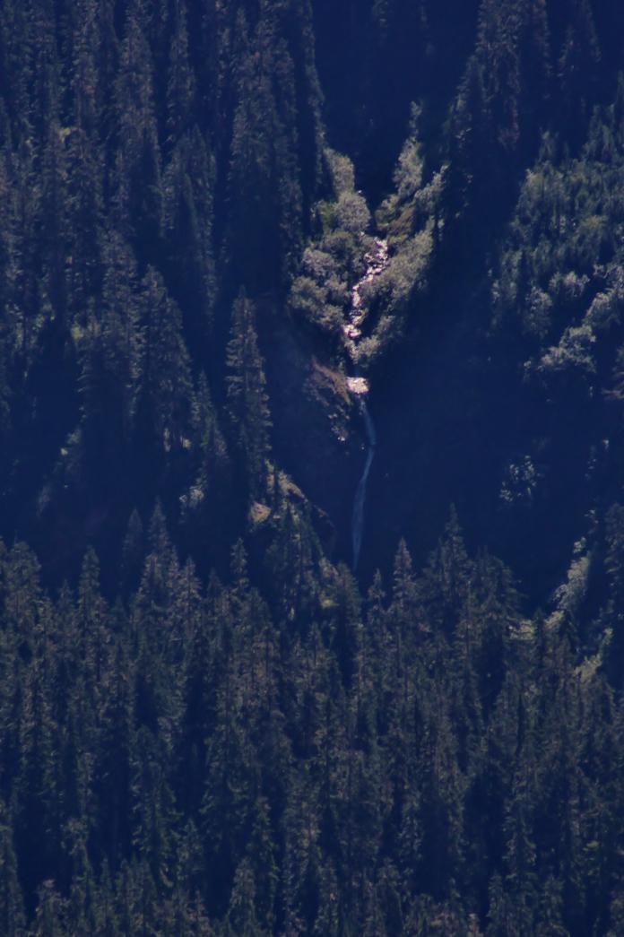 |
|
DIRECTIONS - Hike along the Lake Ann Trail near the end of the Mt. Baker
Highway. In about 2 miles, take a right onto the Swift Creek Trail.
Follow this trail for a couple miles to a view of Tatasum Falls.
Bushwhack down the east side of the creek for a few hundred feet to a view
of the falls. NEARBY WATERFALLS - Agathot Falls, Chokwil Falls, Coleman Falls, Hanging Rock Falls, Huntoon Falls, Lower Chowash Falls, Middle Agathot Falls, Popahomy Falls, Ptarmigan Falls, Qanqan Falls, Tatasum Falls, Upper Popahomy Falls |
|
HOME WHATCOM COUNTY LINKS BEST IN THE NW WATERFALLS FOR KIDS FLICKR FACEBOOK STORE |
|